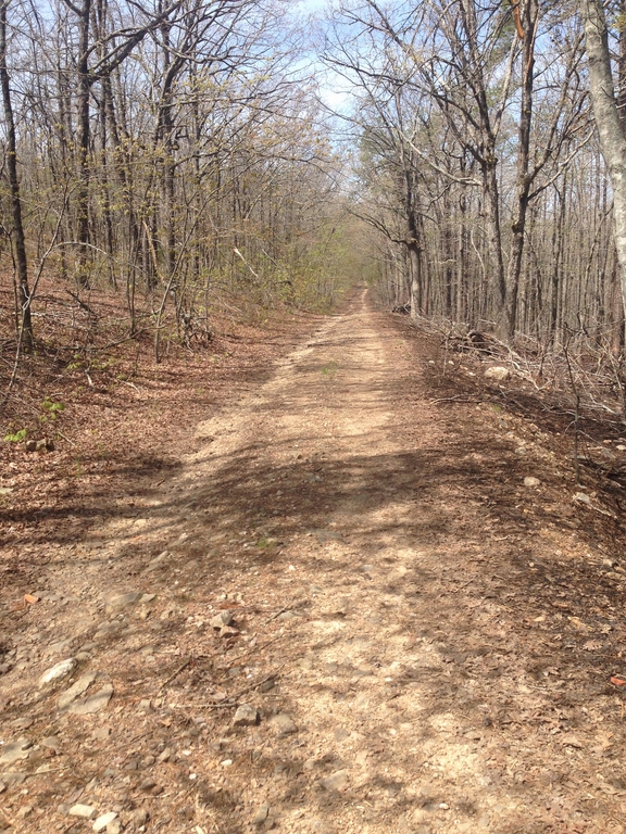
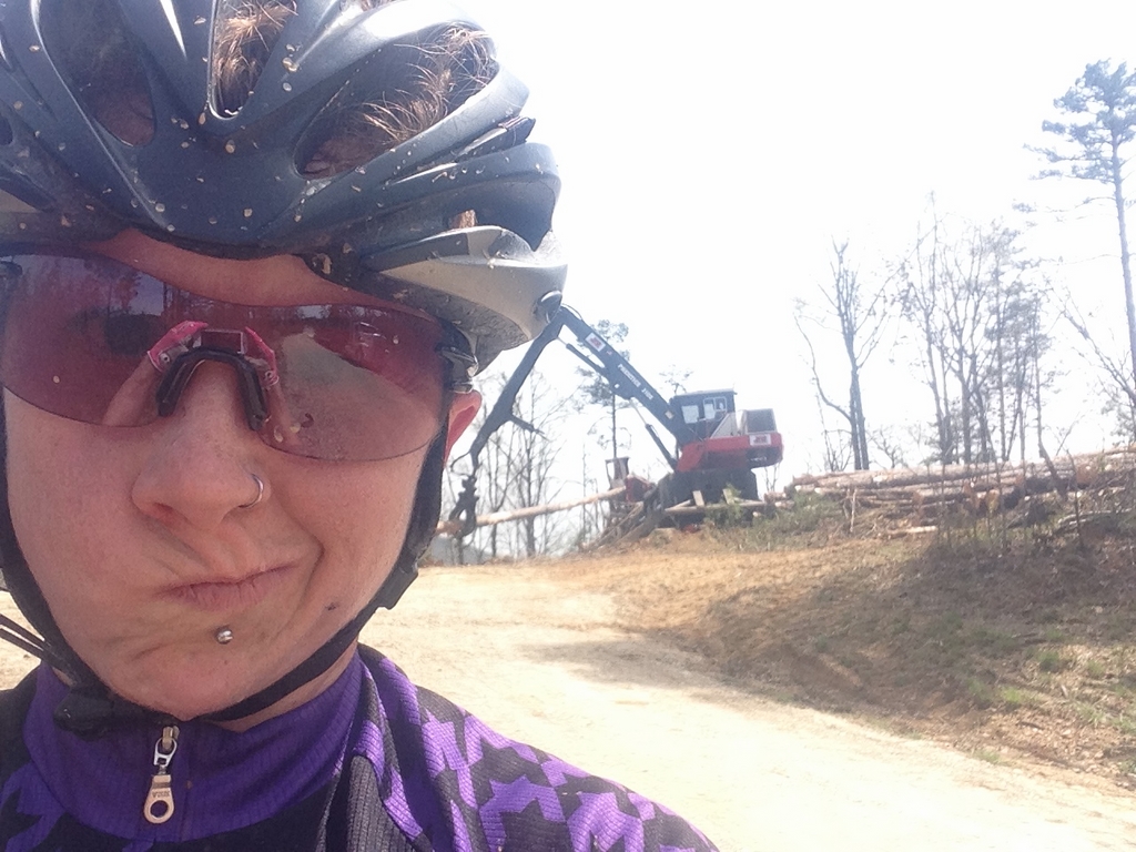
Day 5 was not one for lots of photos and sightseeing, as my instructions were “climb in Zone 4.” Wednesday morning, I packed the Steel Box and drove west to Lake Sylvia- a small state park on the eastern edge of the Ouachita National Forest. From there, I rode this route: 46 miles from Lake Sylvia and basically hammered up any climb that I found. I generally felt pretty great, and I found a couple of roads and climbs I’d never seen before.
It left me incredibly excited for more exploring the next day, when I just needed at least 4 hours of endurance-pace saddle time.
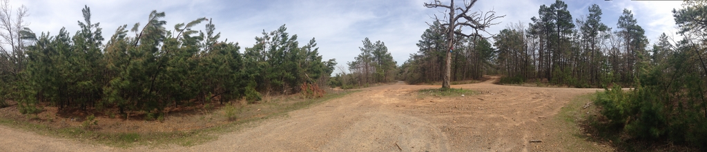
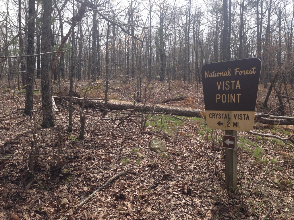
Where I only stopped for a couple of minutes total on my ride the day before, Day 6 I vowed to at least try and capture a little more of the amazing scenery of the mountains of Arkansas. I picked my route based on the out and back portion of the Arkansas Traveler 100. The plan was to follow that until its turnaround point then continue off the course and back to the car once I’d reached it. I ran in to a few snags along the way.
First, within a couple of miles, I found that the recent rains had put the level of the Saline River crossing on 132B up to about “thigh” depth. As I’d run into on my previous adventure at Syllamo, it was, at the time, about 50 degrees, and I had almost 5 hours of riding ahead of me. So, I wasn’t looking for wet feet just yet (I figured I’d come back on the same road, though…)
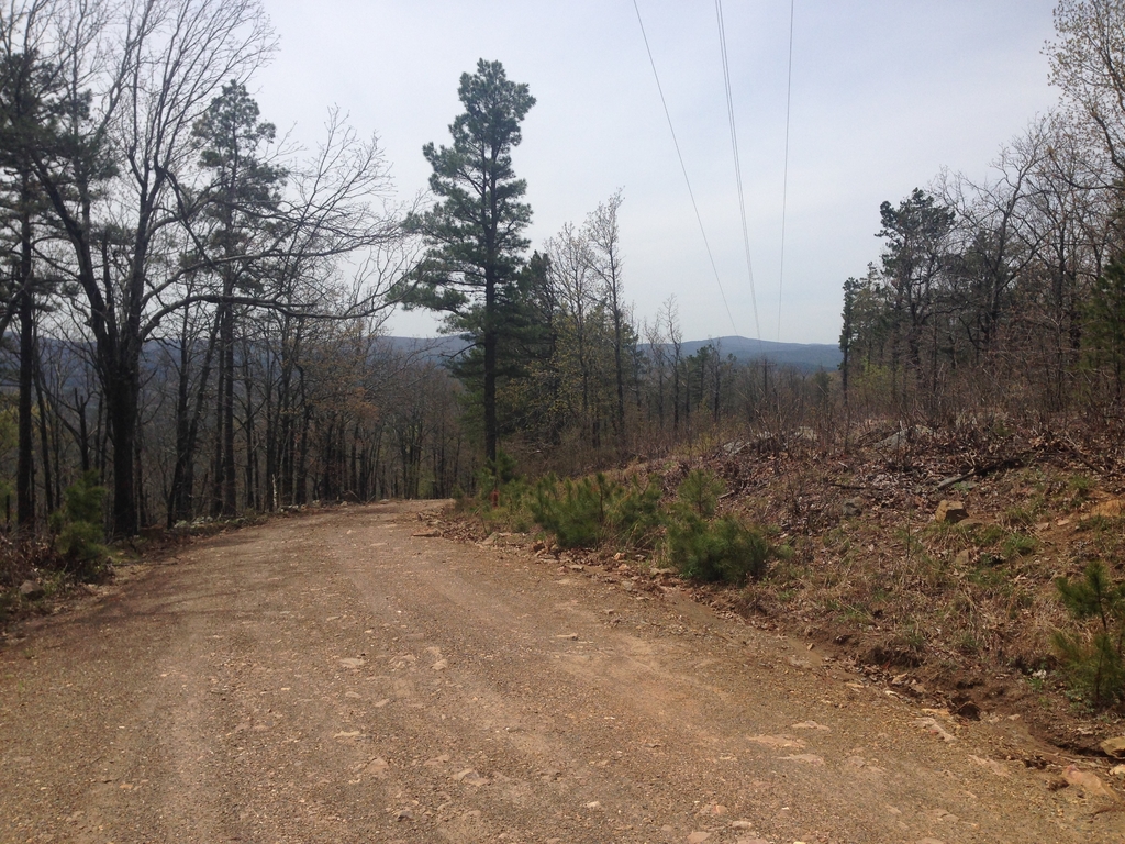
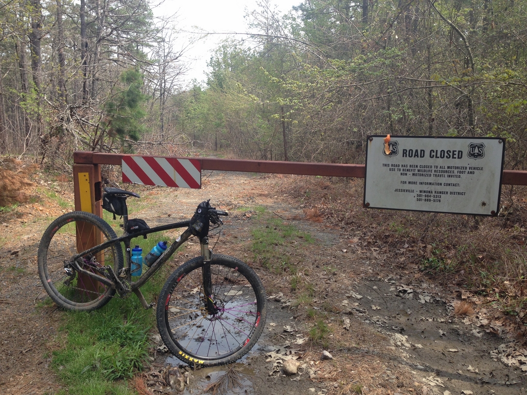
I turned back and detoured on the high road, which added a cool 500ft or so of climbing to the beginning of my adventure. From there, I rode a familiar road to the next ridge over where there’s a tower with some satellite dishes attached to it. If you ride past the tower, there’s a “closed to motor vehicles” road just on the other side. It’s a very nice bench-cut dirt road that follows the contours of the ridge over to a gnarly little jeep road labeled as Reform Rd. on the map.
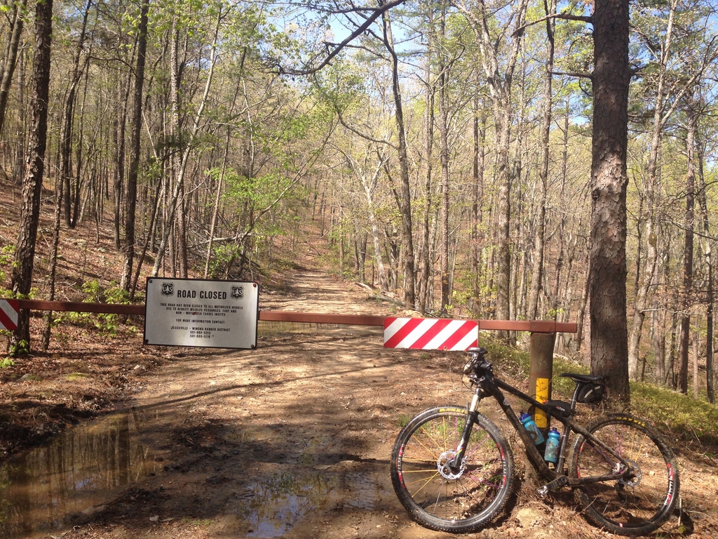
When I arrived at Reform Road, I was surprised to find a forest ranger on a small trackhoe chilling out near the gate. I stopped and talked to him for a minute… turns out, he was there because they were just about to start a controlled burn in the area, and he was around to contain any fire that tried to cross the road. After we chatted, I continued on my way south to Lake Winona. My plan was to take forest road 778 (also known to locals as the “Pig Trail” because of its ruggedness) along the south side of the lake. However, it was there that I ran into my next water-related detour…
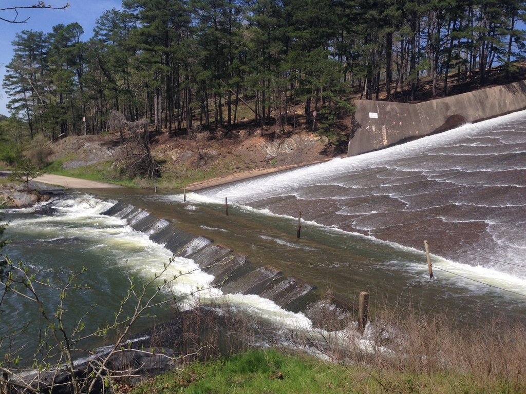
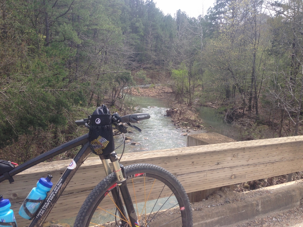
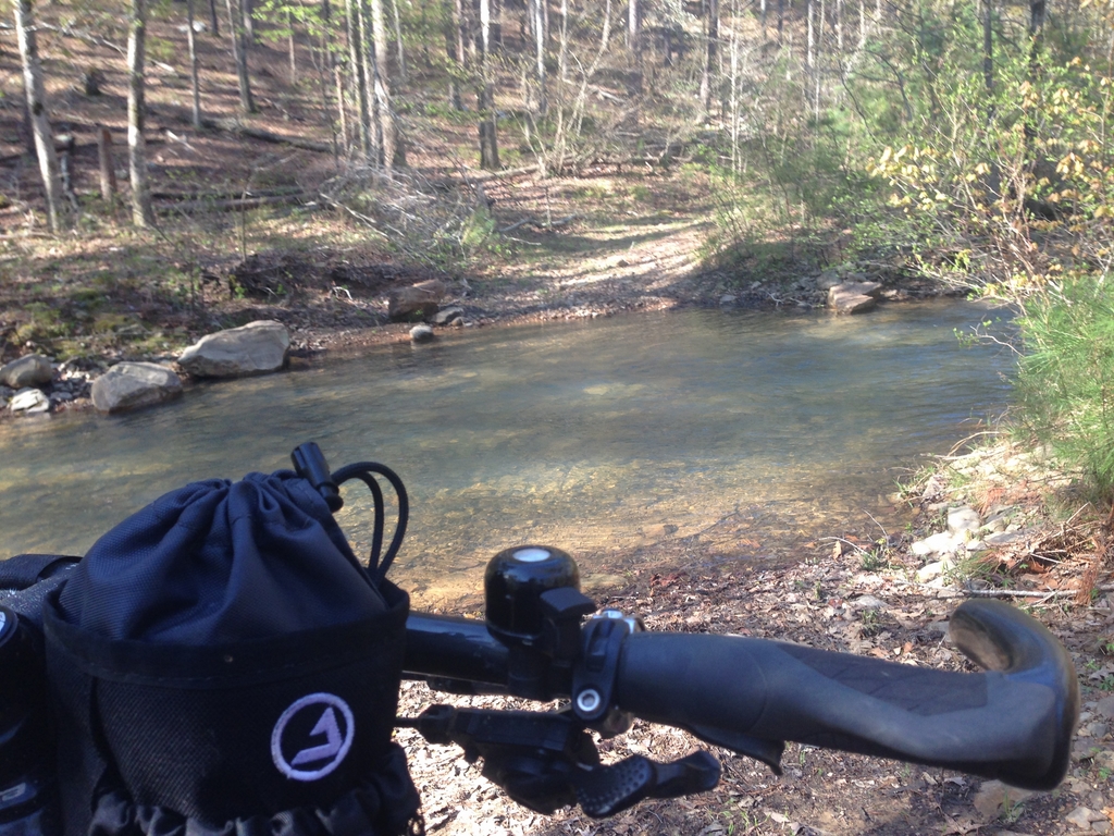
That path lined with posts/cables is where I needed to cross. It’s generally a trickle or thin sheet of water at worst, but this was about 6-8 inches deep and moving FAST. The river coming out of the bottom was rocky and boiling as well… a very bad place to lose footing and end up in the drink.
Not wanting to turn around and go back, I started looking for options. Over the top of the spillway, I noticed a pedestrian bridge and some picnic areas on the other side. They were behind a 6 foot tall chain link fence and a bunch of “restricted area” signs, but I wanted to check it out.
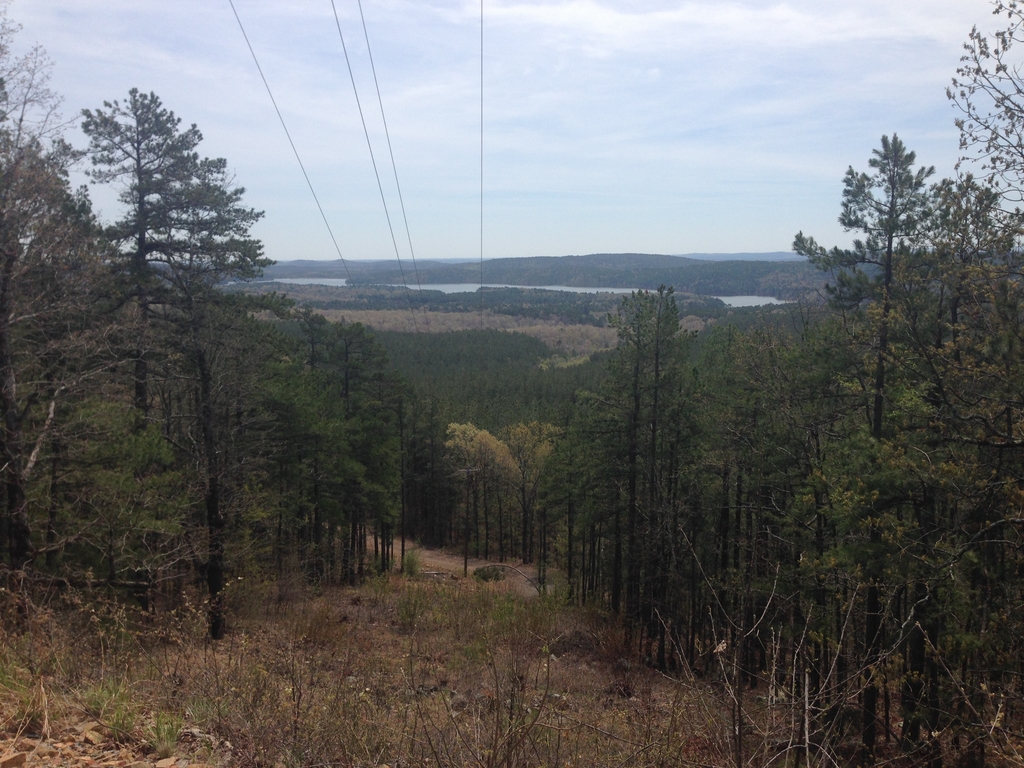
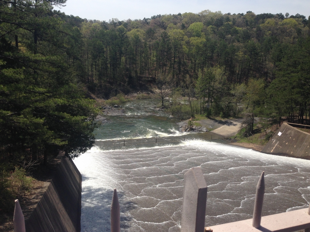
Lake Winona is really pretty

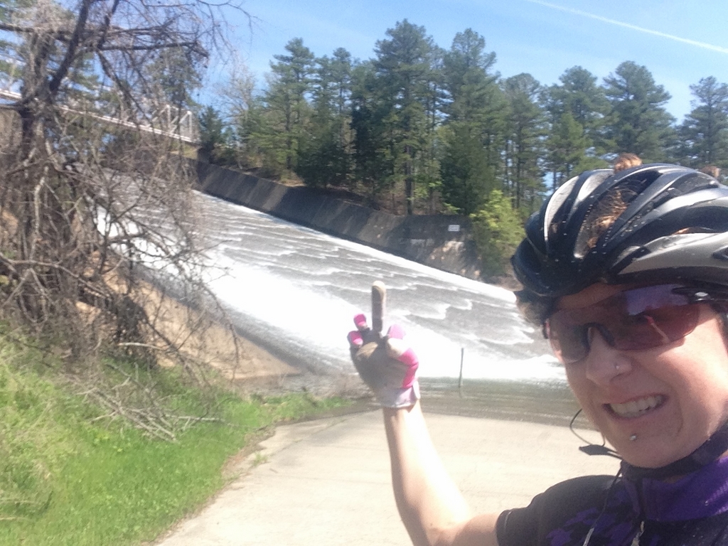
To further try to kill my fun, the walkway to the pedestrian bridge had a “no bicycles” sign. I split the difference and dismounted to walk my bike across
Once I was on the other side, I still had to deal with the chain-link fence at the top and a barbed wire fence at the bottom of the hill that extended from the picnic area to the road at the bottom. Let’s just say I made it without getting arrested or stabbing myself on barbed wire…
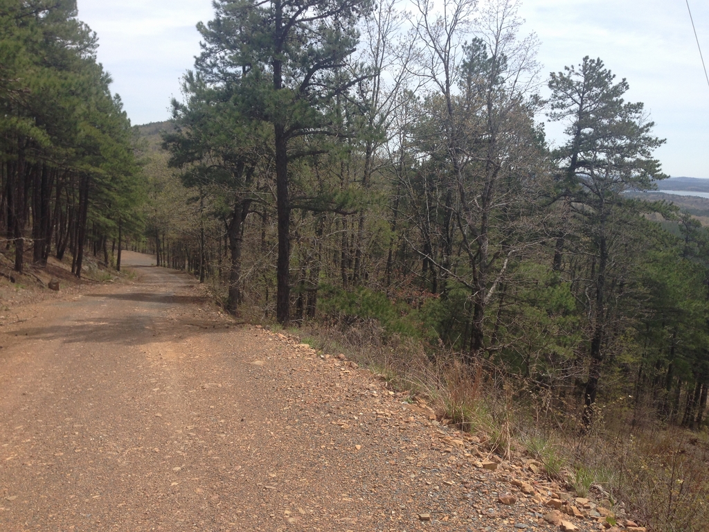
I continued up the Pig Trail and on to Barton Mountain. Between the spillway and the top of Barton Mountain (Smith Pinnacle) is about 15 miles, and it generally goes uphill the whole way… except for when you descend a few hundred feet and then climb back up that plus an extra hundred. The road is everything from nice, hard pack “Cadillac” forest road to chunky bedrock forest “road.” As I was nearing the westernmost end of my loop, I popped out from behind a gate looking for the next road, only to find this guy…
The road I was looking for is under that pile of logs on the right. The guy stopped what he was doing and asked as nicely as possible, “WTF are you doing on a bike out in the middle of the middle of nowhere?” and I told him I was trying to follow the road that went up the hill behind him. He was also polite in letting me know that it’d be a good idea to not try and do that because they were actively felling trees onto it at the time. It wasn’t too big of a deal- I was already behind schedule because of my water-based detours, so cutting that 5 miles or so of my loop off would only put me back on track.
The last climb of the day was a bear. I got nearly to the top and saw that there was a vista if I could grind out just a little more…
Worth every drop of sweat…
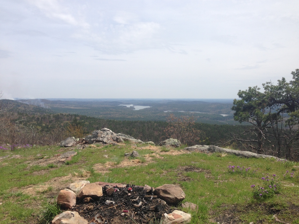
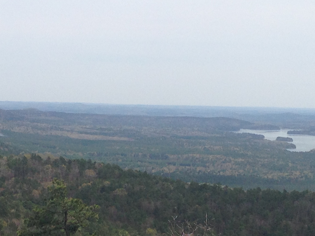
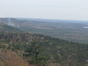
(you can see Lake Winona as well as the smoke from that aforementioned burn on the left of the last photo)
From there, it was mostly downhill. I found the “other” end of the road I’d turned back on at the beginning. It’s one of my favorites, because it parallels the Saline river. Which, like many other nice rivers & creeks in Arkansas, is a gorgeous shade of blue/turquoise in the deeper spots.
At 67 degrees and 10 minutes to the car, it’s not a big deal to ford the river
With all the photo stops and random detours, I wound up with close to 5 hours of riding. Once I was cleaned up and the car re-organized, it was back home to Memphis (with another detour to Chipotle on the way through Little Rock). Today is all about rest and recovery. I’ve got an acupuncture appointment after lunch, and I’ll probably go for a walk or easy spin this afternoon.
So far, I’m feeling good about my fitness and setup for the Ogre 150 (a week away) and Dirty Kanza. The handlebar bag I’m using from J-Paks is super convenient for holding an extra bottle and whatever trash and wrappers I have (I plan on using the top tube bag for the extra-long rides as well). Also, I’ve figured out that the skinny Maxis Ikon is a superb gravel tire. It’s fast rolling and just voluminous enough to be super stable on anything that’s not Cadillac Hard Pack. Now all I need is for my hardtail to get here from Cysco and I can really get to gettin’