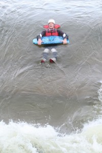
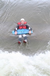
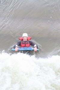
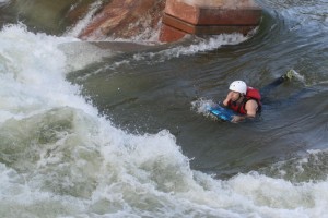
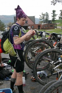
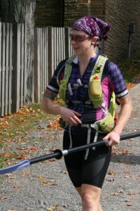
Back around the beginning of August, I was contacted by JRA fan/listener Tony Misovski about racing with his team at the Adventure Race Nationals. I’ve dabbled in shorter races, and I enjoy the format and variety of adventure racing, so I jumped on the opportunity to take on a longer, more challenging event with a very experienced team (the Michigan Racing Addicts). The race was held in McHenry, Maryland, snuggled right up in the foothills of the Appalachians. The area is gorgeous (especially this time of year with the leaves nearly at peak color) as well as rugged.
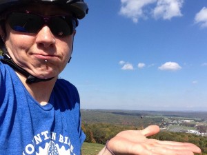
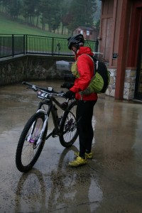
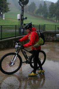
I arrived at the Wisp ski resort (race home base) Thursday afternoon. While waiting on Tony and Mike to arrive so we could check in, I decided I’d thrown on my shoes and helmet and go for a spin to check out the bike path I’d seen on the way in to the resort. Somehow that ended up with riding to the top of the ski hill.
Not long after that, the Michigan caravan arrived. After we said our hellos and whatnot, we found our way to registration and our hotel room, where I commenced to dumping all of my clothes out (two of everything) and wondering WTF I should bring with me for 30 hours that would include everything from sun and 70 degrees to rain and 60s dropping to the low 40s. The 7pm racer meeting gave me a slightly better idea of how the race would go as far as when and where we could access gear as well as the order and transportation mode of each stage.
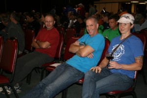
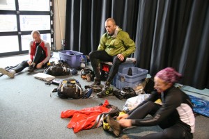
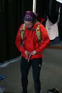
P.S. It was freezing in the race meeting room. Also, pinky out = classy as ufck.
Following the meeting, I’m pretty sure it took me a solid 2 hours to decide what clothes to take where and when and get stuff packed and organized in a way that would make it easy to grab and go in whatever fatigued and/or sleep deprived state I’d be in. The exciting part was that the entire day would kick off with a float down the whitewater course at the top of the ski hill. I’ve never even ridden in a boat on whitewater, so I was excited to see what would happen when I’d be taking it on with a helmet, life jacket, and a boogie board.
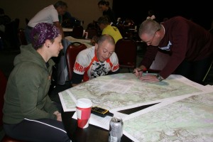
After a few hours’ sleep, we were out of bed and back down to the meeting area to receive maps, checkpoint coordinates, and final race instructions…
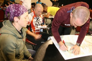
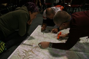
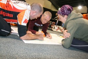
Essentially, the two hours that elapsed from the time the maps came out until the 8am race start were the shortest two hours you could possibly imagine. Checkpoints are plotted first, then the route between checkpoints is planned, highlighted, and measured. In my head, I broke the race up into two parts. Part one would be the whitewater ride, bike orienteering #1, then paddling/orienteering/paddling. Part two was another bike section- much longer, and broken in half by a “score-o” orienteering on foot section that was much more difficult in both length and elevation than the first one (and performed mostly in the dark).
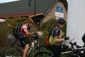
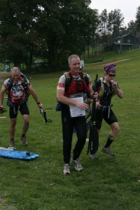
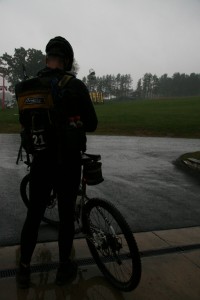
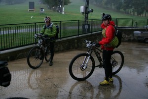
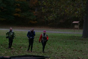
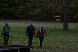
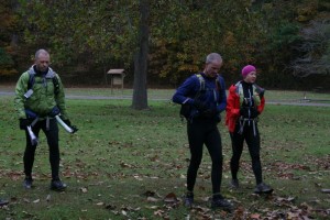
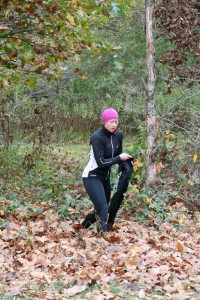
It seemed like 10 minutes passed before we were lined up and ready to take off on foot up the ski hill to the whitewater area. Mike’s wife Angie was there with the camera wherever we’d go, so she got some great pictures…
(she told us “serious face” for this one)
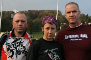
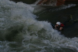
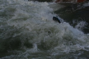
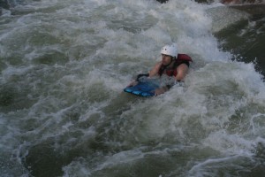
That was a hell of a hike to get us started… and the whitewater was pretty awesome. I don’t have pictures of myself in the water, but here’s my teammate, Mike, going in to the first rapid…
That shit was no joke… it’d smack you in the face then hold you under water for a couple of seconds:
We made excellent time on that section and found ourselves running back down the hill with some of the top teams. For the next stage, we hopped on our bikes, rode back up the ski hill access road, past the whitewater center, and into the nearby trail system. It was some awesome stuff- lots of rocks that reminded me of the trails in the Transylvania Epic.
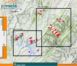
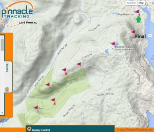
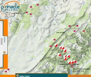
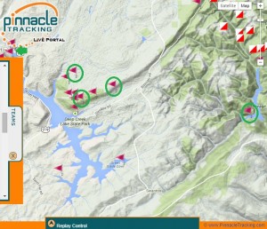
Looking at the map, you can see the start area is the green arrow. We ran to the whitewater center and back then rode to the checkpoints in the green area (with the exception of the checkpoints with the red x’s and the one labled “final,” which were final stage bonus points- more on that later).
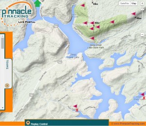
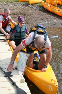
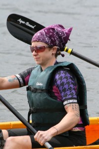
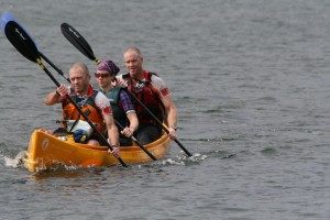
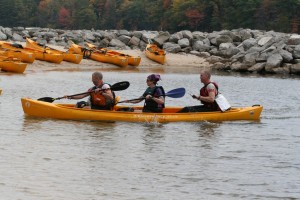
We had one mix up in our navigating somewhere in there and lost some time. It was very early in a long race, though, so we didn’t stress it too much and hustled back to the ski resort to start the paddling and orienteering stage. With that one, you had the option of going for all the paddling CPs first (two were waaaay out on the far end of the lake), then orienteering and going back to the transition area, or you could paddle to the orienteering area, clear it, then go get those two far-flung paddling CPs (or not).
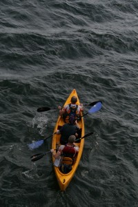
The headwind and associated rough water on the lake was rowdy. Two boats capsized in that section. Luckily, we made it to the orienteering area halfway down the lake without incident (though we’d taken on a lot of water from waves crashing over the front of the boat). I was very happy that I didn’t get seasick.
The orienteering went mostly smooth. We did have one point that took a while to find because it was on a fairly flat, mostly featureless spur that was covered in thick ground cover. The combination of that along with the length of time it took us to get there with the initially bad conditions meant that we skipped going for the two other paddling CPs. While we were on land, the weather associated with the wind passed through, bringing us a little rain but also flat water and calm skies for the return trip. That’d be the last of the good weather we’d see for the remainder of the race.
When we arrived back at the transition to start what I labeled as “stage 2” in the map above, a heavy, steady rain started. According to the weather forecast, it’d stick around for several hours, and the temperature would drop steadily from that point on. We changed in to some warmer clothes and hit the road.
The next part was one of the few places that really sucked. We had to ride for what seemed like forever up the shoulder of highway 291. It was busy, getting dark, and pouring down rain. I was really happy when we finally made it to the back road that’d take us to the next cluster of checkpoints (they’re the ones at the top of the pic).
It was gorgeous just before dark… the trees along the road were all yellow, and the road itself was covered in a layer of fallen yellow and red leaves.Then, it was dark, and we found ourselves on a long-ish road climb that someone had painted with words like “agony” and “suffering.” It wasn’t really that bad… I towed Mike up most of it until he had a flat tire and we stopped to fix it. At that point, we were almost at the turn off to go into the trail system where we’d find the next set of checkpoints.
Those went well. It was really late at night by then. I saw a porcupine and a flying squirrel. At first glance, I thought that the porcupine was a giant armadillo from Hell. I was feeling really fresh at that point and having an awesome time.
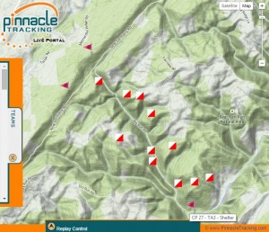
The next CPs to gather were the ones along the ridge in the middle of the map (the flags, not the boxes). I don’t really remember the exact order of how we found them, except that I know that somewhere between the two clusters of them, we missed a turn, then found it, then the guys decided that wasn’t it, and we went back down to where we’d come from, only to go back to the turn we’d found before. From passing where we should have turned until we were back on track, we probably lost a good hour of time and did a healthy chunk of extra climbing. We eventually found everything, though, and made it down to the next transition area for the “score-o” orienteering section.
The idea behind that type of orienteering is that there are a bunch of points to find (these weren’t given to us before the race- it was a separate map provided once we arrived at that transition area), and each one is assigned a point value according to how far away and difficult it is to get to. For the purposes of this race, they added up your points from what you found, and divided your score by ten (rounding up), and that’s how many checkpoints towards your race finish you’d receive. So, in our case, the point value of what we found was 74, so that gave us 8 checkpoints towards our finish. The most you could get from the score-o section was 10. It was, by far, the roughest terrain we covered. Everything felt straight up or straight down, and the rain had made the leaves, deadfall, and rocks treacherously slick. I fell down repeatedly.
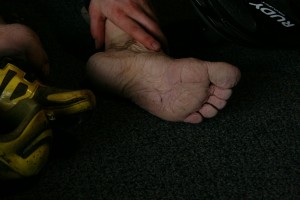
It was still dark, and we started by making the hardest push up and over a ridge for three high-value points. I vaguely remember following Tony’s green jacket and headlamp through the woods. A large portion of the “hiking” we did was straight up hills so steep that I was using my hands on the ground in front of me. As the sun came up, I was fading hard. My joints and toes hurt really bad, and I fell asleep while I was walking down the road. Luckily, I woke up as my knees buckled and I caught myself with a large stumble.
Mike and Tony did a very good job of calculating what time we needed to leave back for the last of the bike CPs and finish, and, based on that calculation, we collected a couple more nearly-vertical score-o points and hustled back to the TA to change and get on our bikes. Angie was there for more photos and encouragement.
I’d packed my warmest riding tights and a long sleeve jersey, which ended up being the perfect choice, because I think it was in the 40s by then, and the wind was howling.
Our next task was to collect the last 4 of the bike CPs (circled in green) on our way to the final transition area, where we’d have the option of either finishing, or going back out for the last few orienteering (on foot) points on and around the ski area.
That was a hell of a ride back… if I had to take an educated guess, I’d say that the score-o transition area was probably the lowest point on course. We did a lot of climbing, and the headwind was relentless. Once we punched the three points in the area where we’d previously been during the canoe/orienteering stage, I put it in hammer mode. Tony’s stomach had turned on him a few hours earlier, so he was bonking. I paced the guys into the wind, then towed Tony the last few miles. We still passed several teams who were succumbing to the beatdown from the wind. Someone said something about hail. I never noticed.
We arrived back at the final transition area at 1:15pm. Looking at the map, the guys initially thought that we wouldn’t be able to go for any of the extra CPs (we had to finish by 2:00pm). However, another team who had already finished clued us in that one of the points was just a short hike halfway up and around the ski hill. We quickly grabbed our packs and turnt up the hustle…
If you scroll all the way back up to the first zoomed-in map, you’ll see the point that I labeled as “final” (as well as the couple of others with red x’s that we didn’t have time to go for). We hiked up, punched it, then ran back down and hit the finish line at 1:40pm. We totaled 39 of 46 available checkpoints. Only three teams out of the 60 in attendance were able to clear the entire course. The effort landed us in 13th place in the coed team division and 15th out of all of the teams at the race (two masters teams finished ahead of us).
Super solid work.
It was an awesome experience. Mike and Tony have this stuff nailed down… all I had to do was show up, do what I knew how to do, and listen to their direction for whatever I didn’t. Angie was an amazing support person as well. The highlight of the weekend was saying something in passing to her about pizza as we were hustling out to get the last checkpoint, and, once we were back, finished, and laying around not quite knowing what to do next, she walked in with two gigantic pizzas. I could have cried, but I was too busy stuffing my face with pizza.
Fun blog fact- a 30 hour adventure race yields a 4 hour marathon of blog reporting.
Also, based on my rough memory and trash count, I ate 8 packs of Gu Chomps, 3 Roctane Gels, 6 Salted Watermelon Gels, 1 Salted Caramel Gel, a bottle of double strength blueberry pomegranate Brew, 3 Pro Bars, 2 Snickers bars, 1 peanut butter sandwich, 1 Clif Bar, 2 Clif Turbo Shot Gels (100mg caffeine boost!), half a bag of honey mustard & onion pretzel bits, three cups of hot chocolate, and 5 mini Reece’s PB Cups.
