Adventures in Snowab

Holy bejesus. So much went on in the last week…

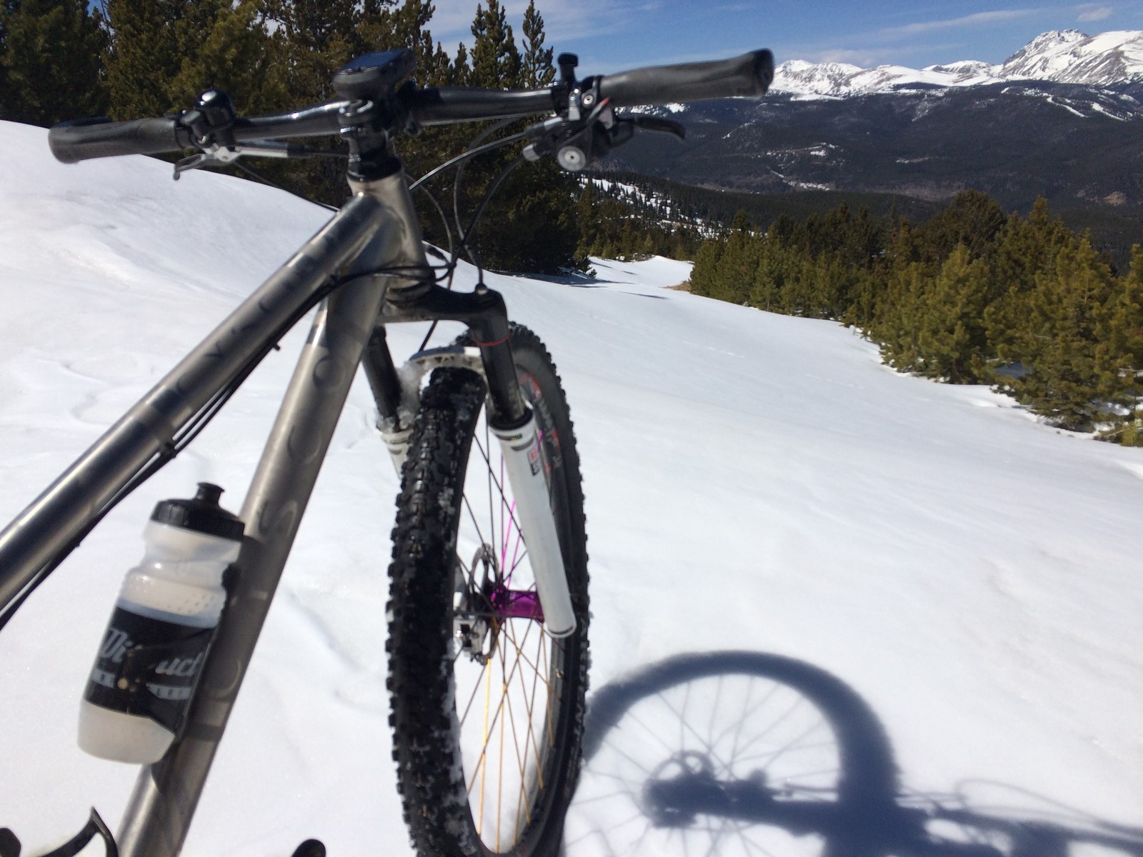
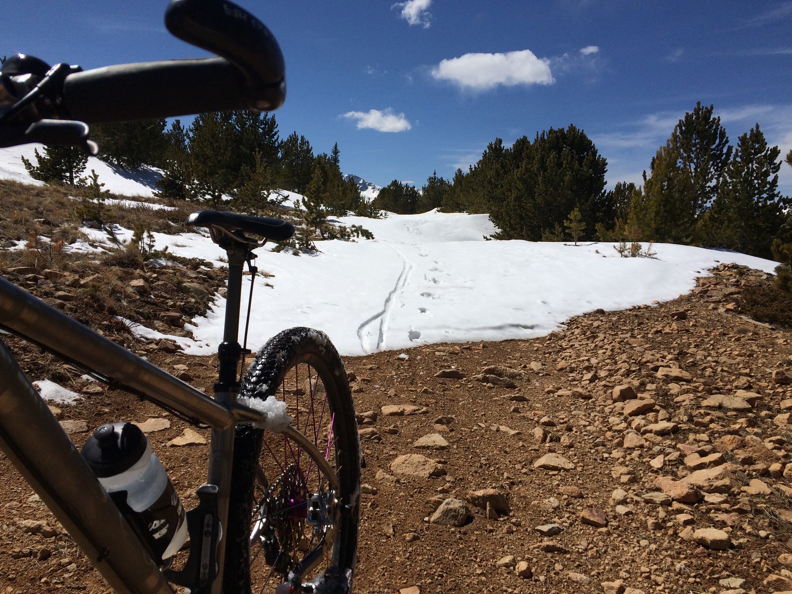
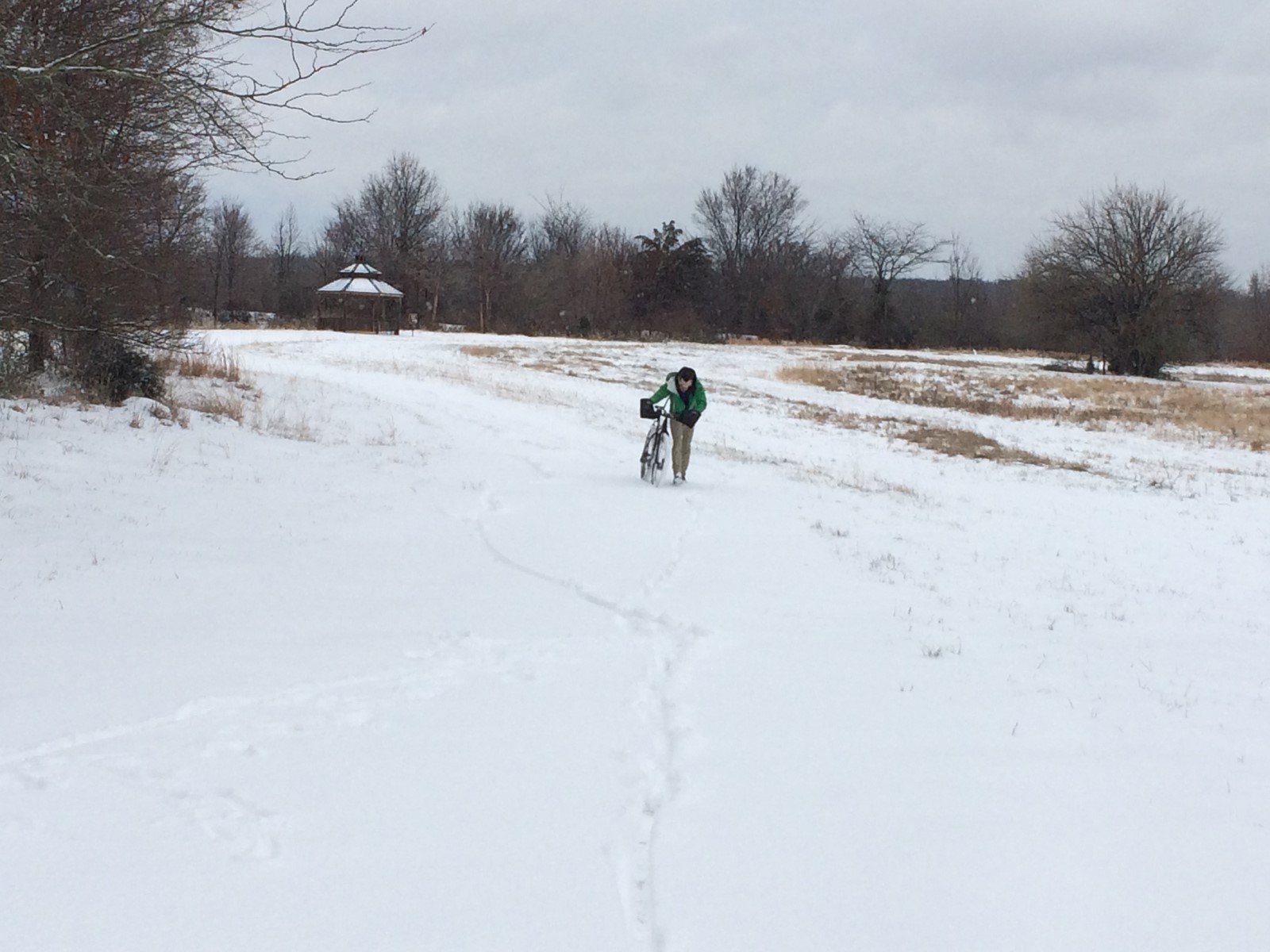
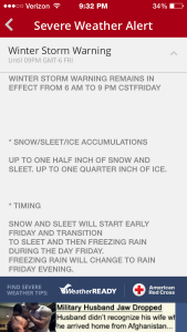
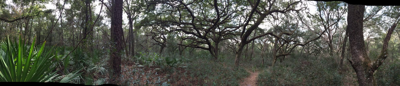
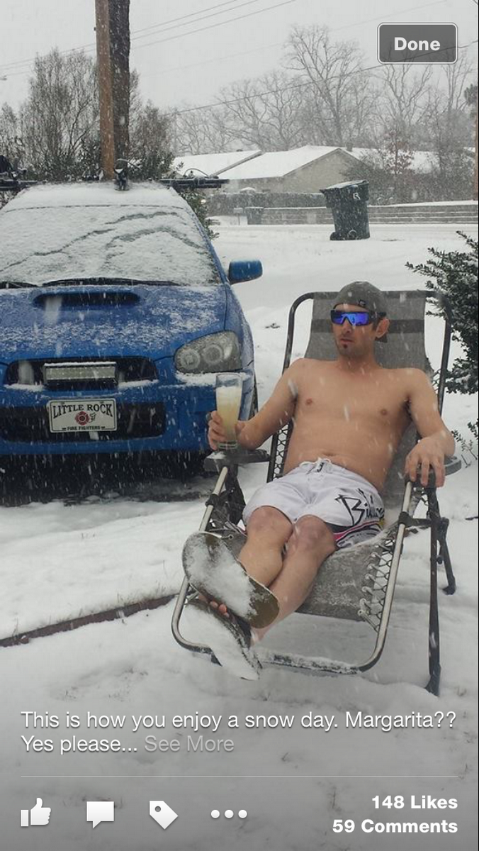
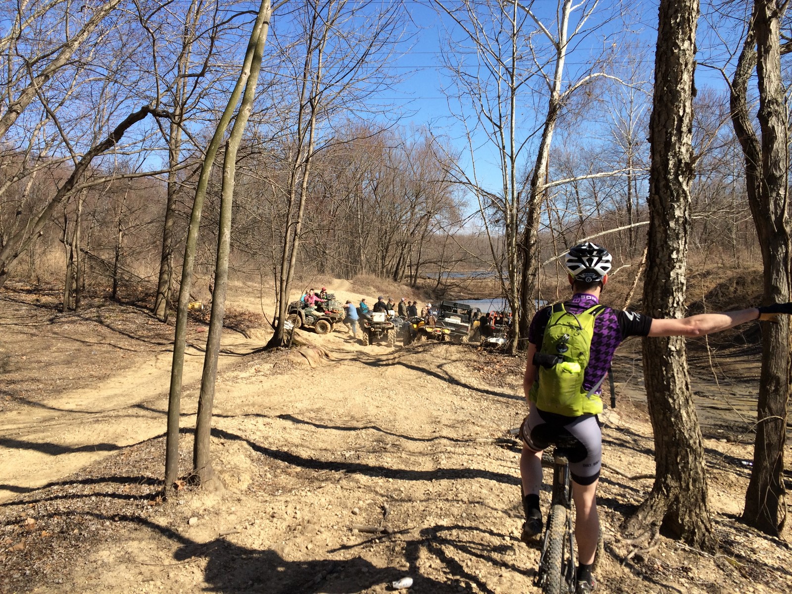
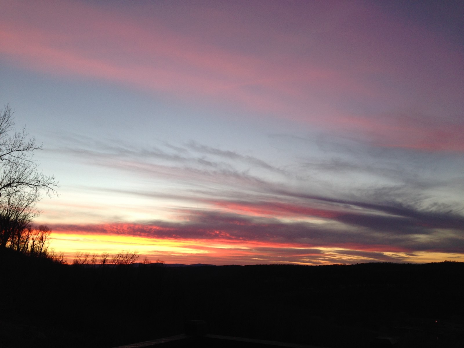
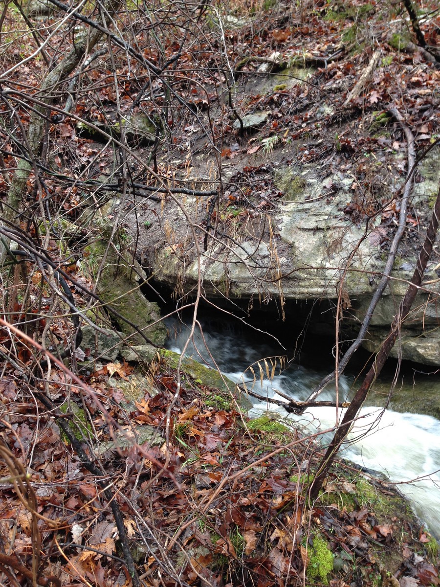
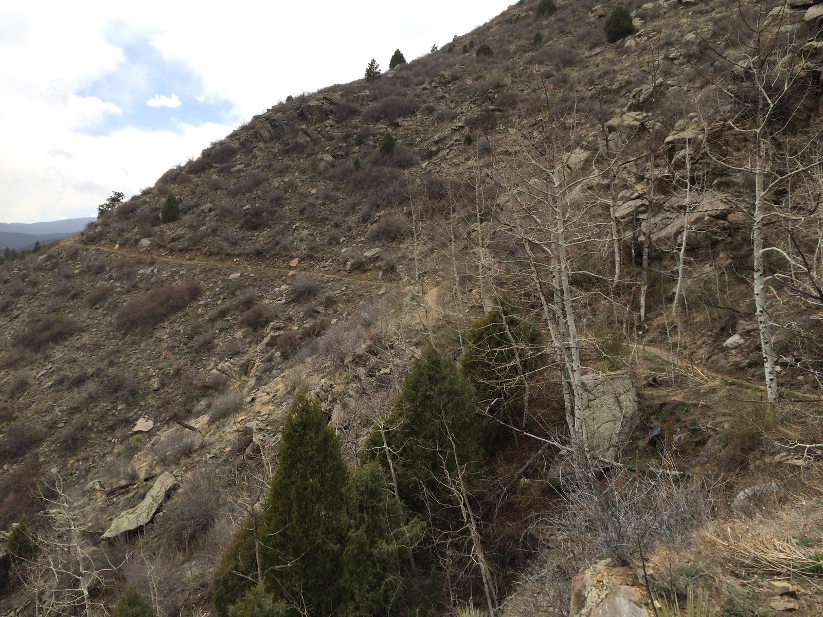
So, a week ago yesterday, there was a winter storm moving in to my area (remember in my last post how the man named Smith told me it was gonna be a big one?) I managed to squeeze in a ride at Centennial Cone before the temperature dropped and the clouds rolled in. It’s a nice trail. Exposure still kills my confidence, though.

IMG_7153

I fully planned to gtfo on Friday morning and spend some quality time in Moab enjoy not being in the snow. However, by Thursday afternoon, it was already snowing pretty hard.

IMG_7157

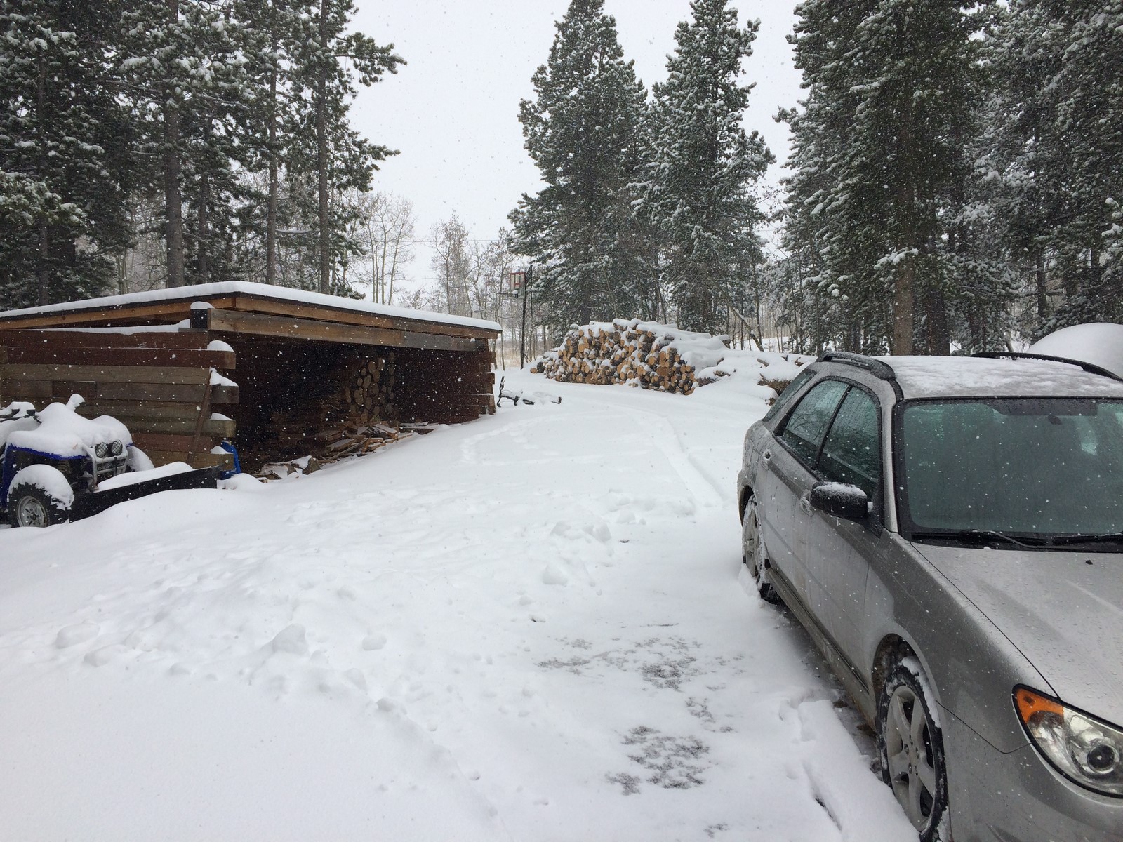
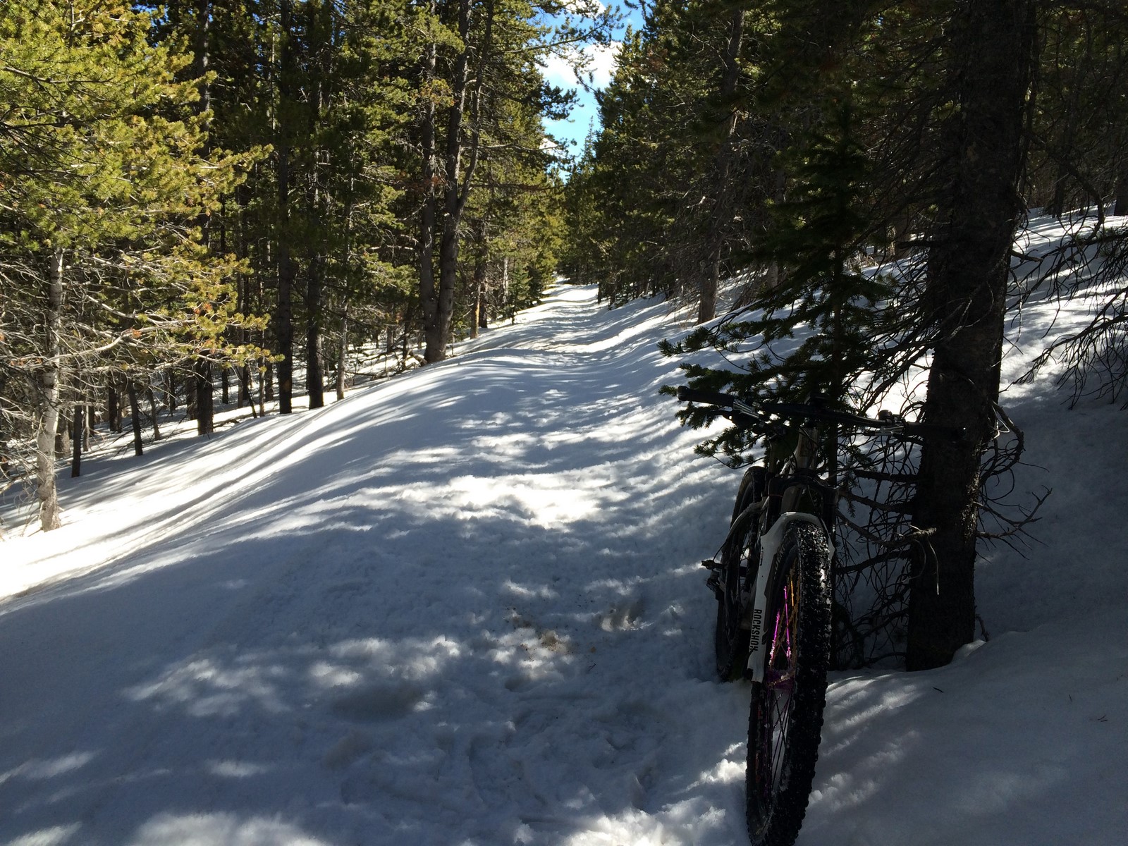
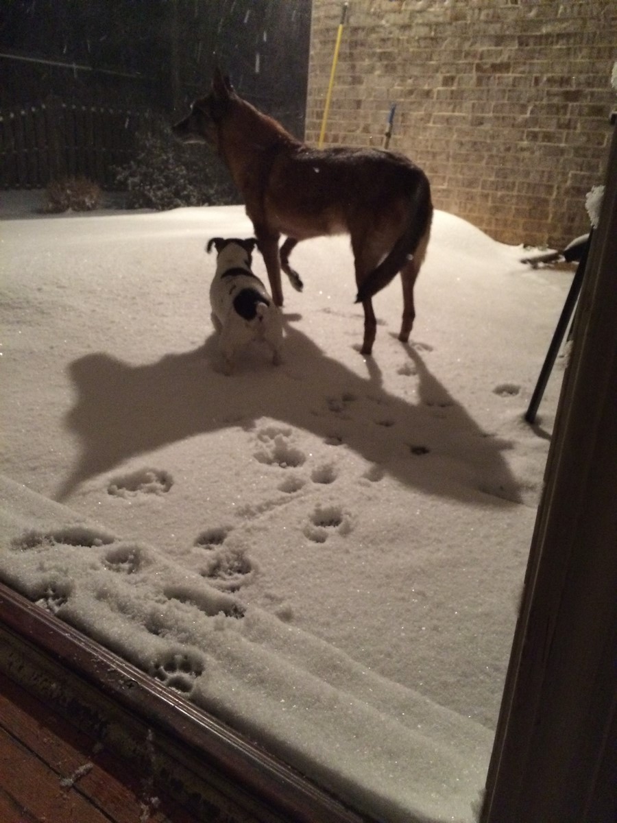
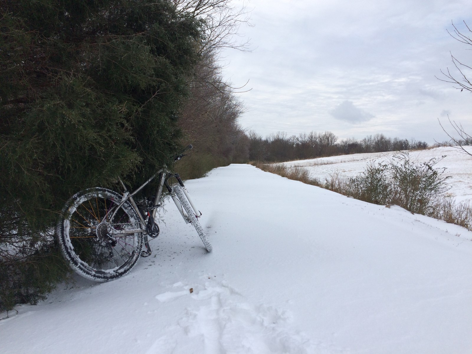
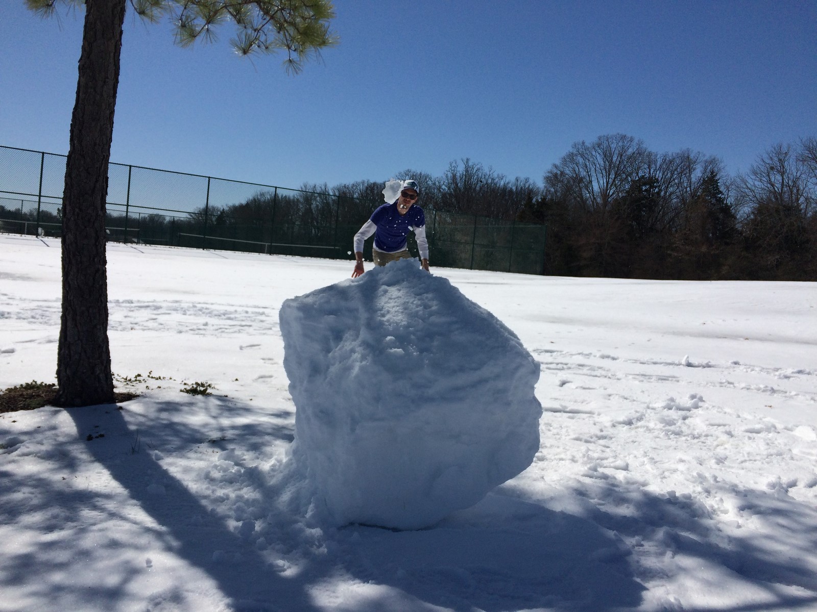
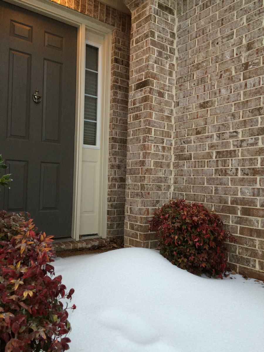
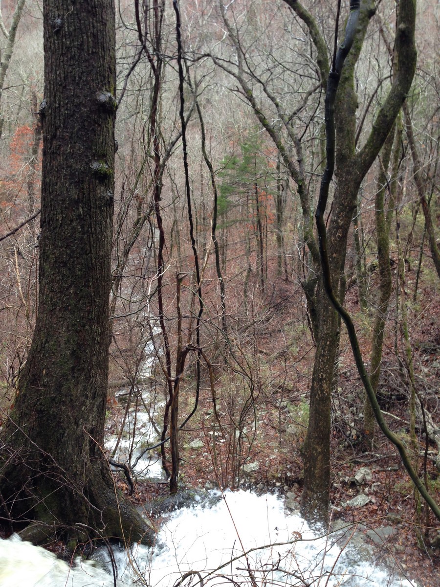
By Friday morning, there was about a foot on the ground, and I wasn’t really sure what to do. It just kept falling, and I sort of wanted to yell at the sky to stop sending the snow down. I’d never seen more than a few inches of snow, so it blew my mind just a little.

IMG_7163

IMG_7164

IMG_7167

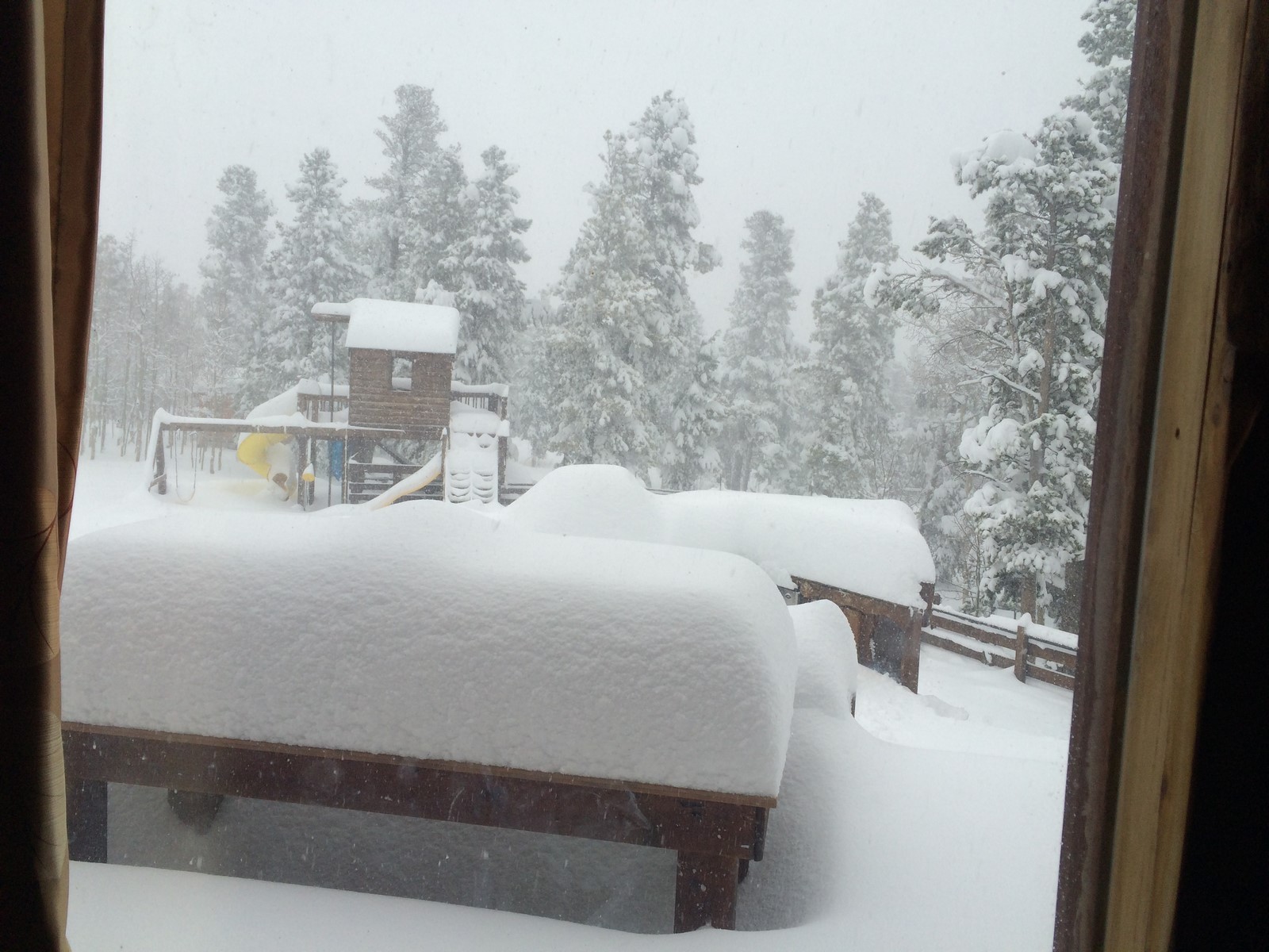
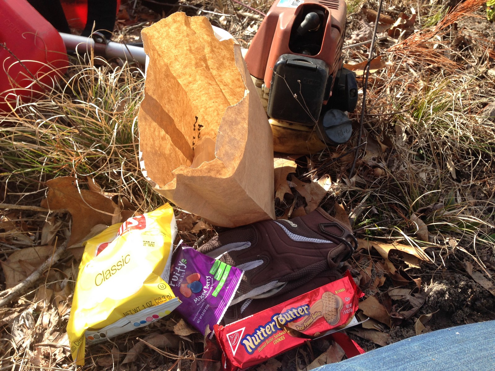
I shoveled out around my car so that I could possibly pack it, but, alas, the snow piled right on back in there.

IMG_7165

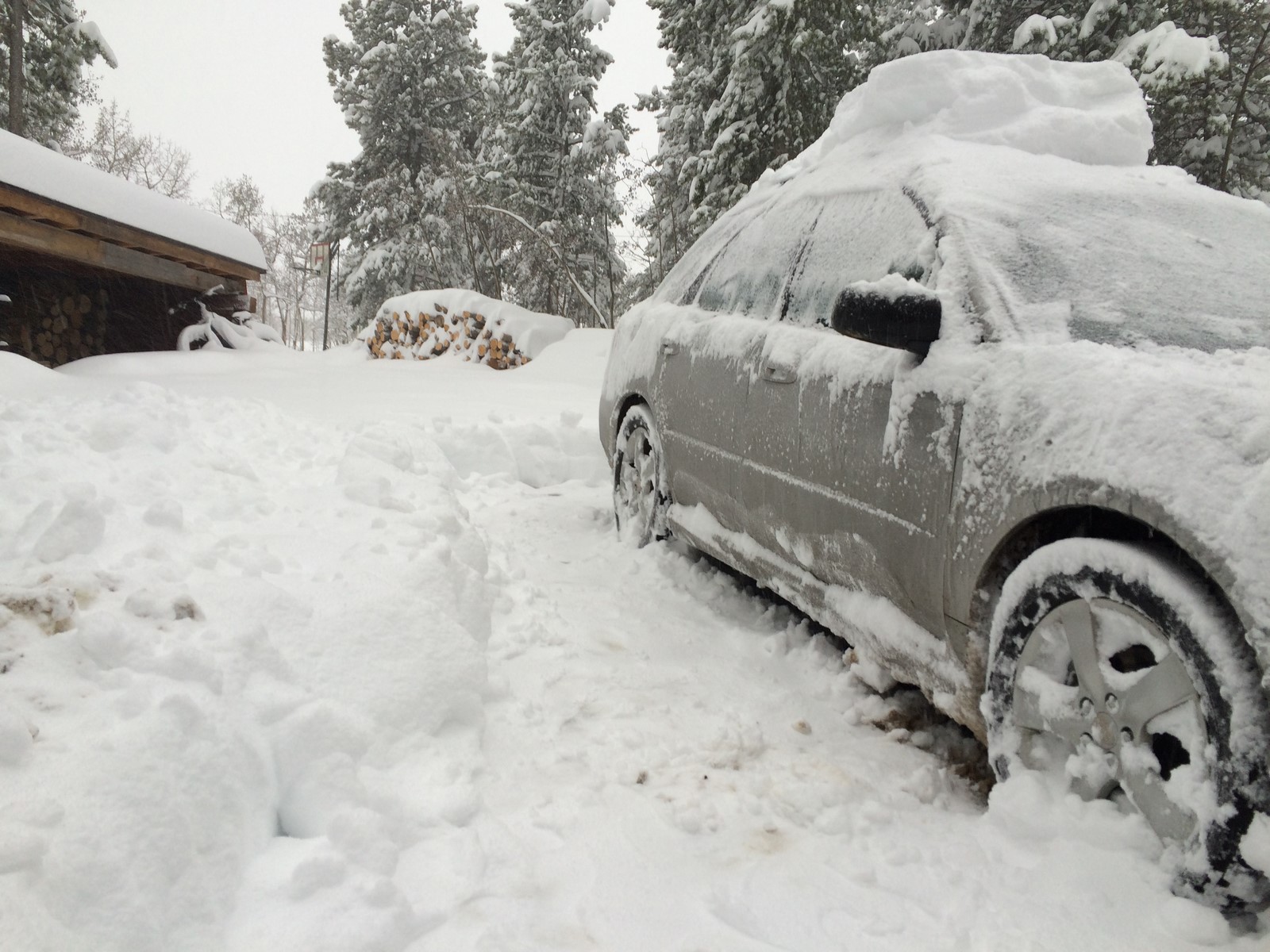
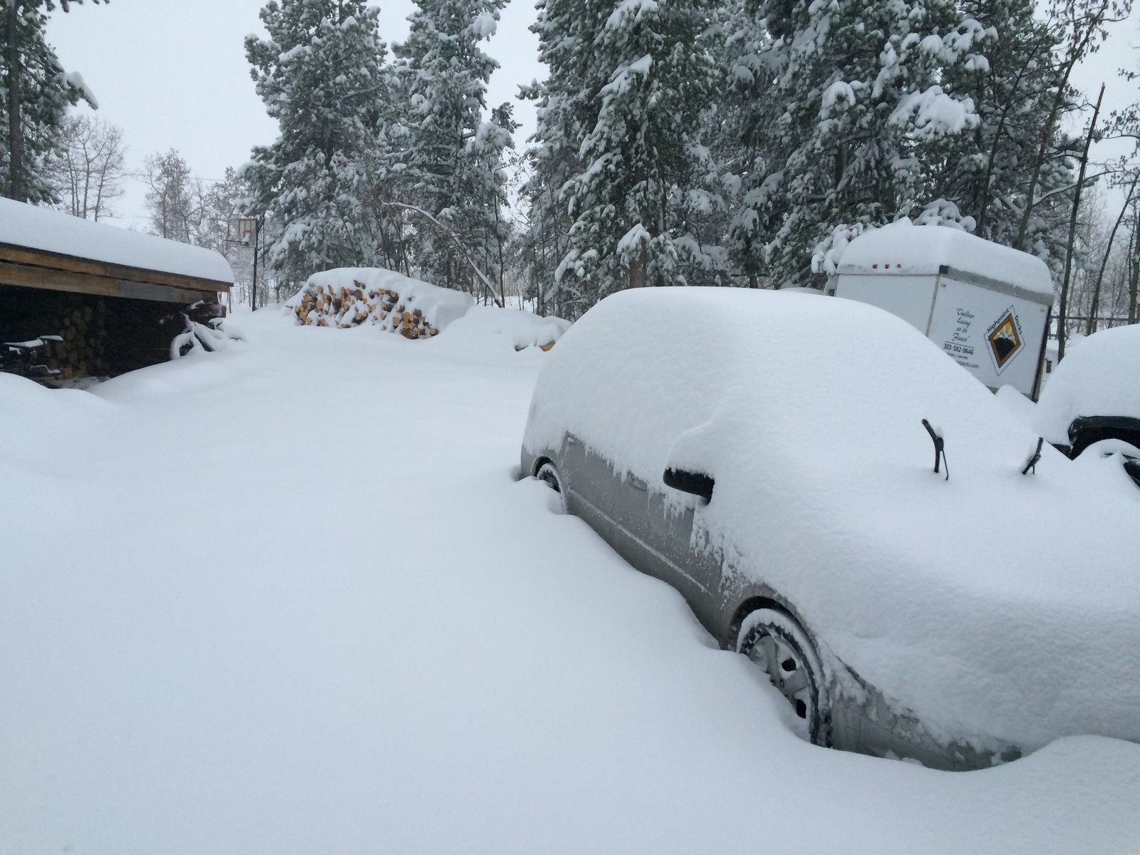
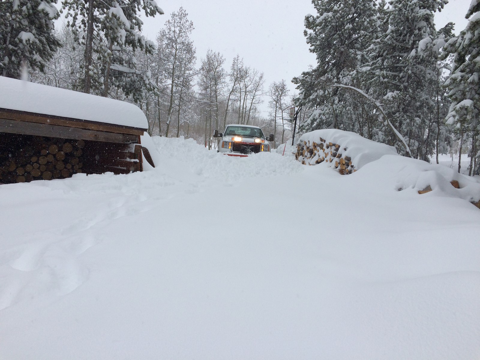
According to experts, you can’t drive in snow that deep unless your car is actually a lifted truck. However, eventually, a snow plow came along, and I was able to get out and start the long weekend journey. The snowplow driver probably wondered wtf was wrong with me while I stood with my mouth somewhat agape taking pictures like a tourist.

IMG_7170

Lesson learned… if you want to get to the desert and avoid snow, you should leave for the desert ahead of said snow.

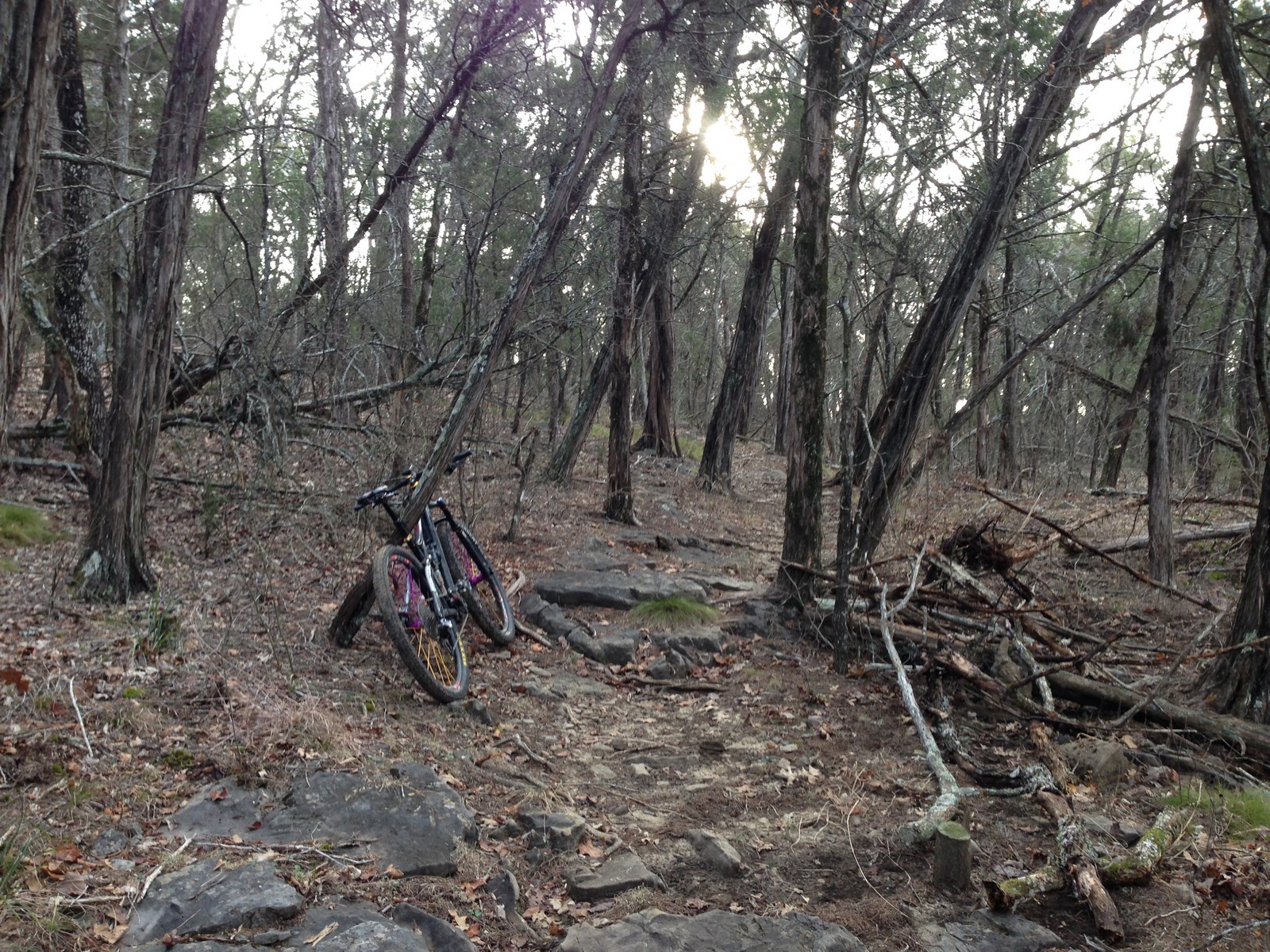
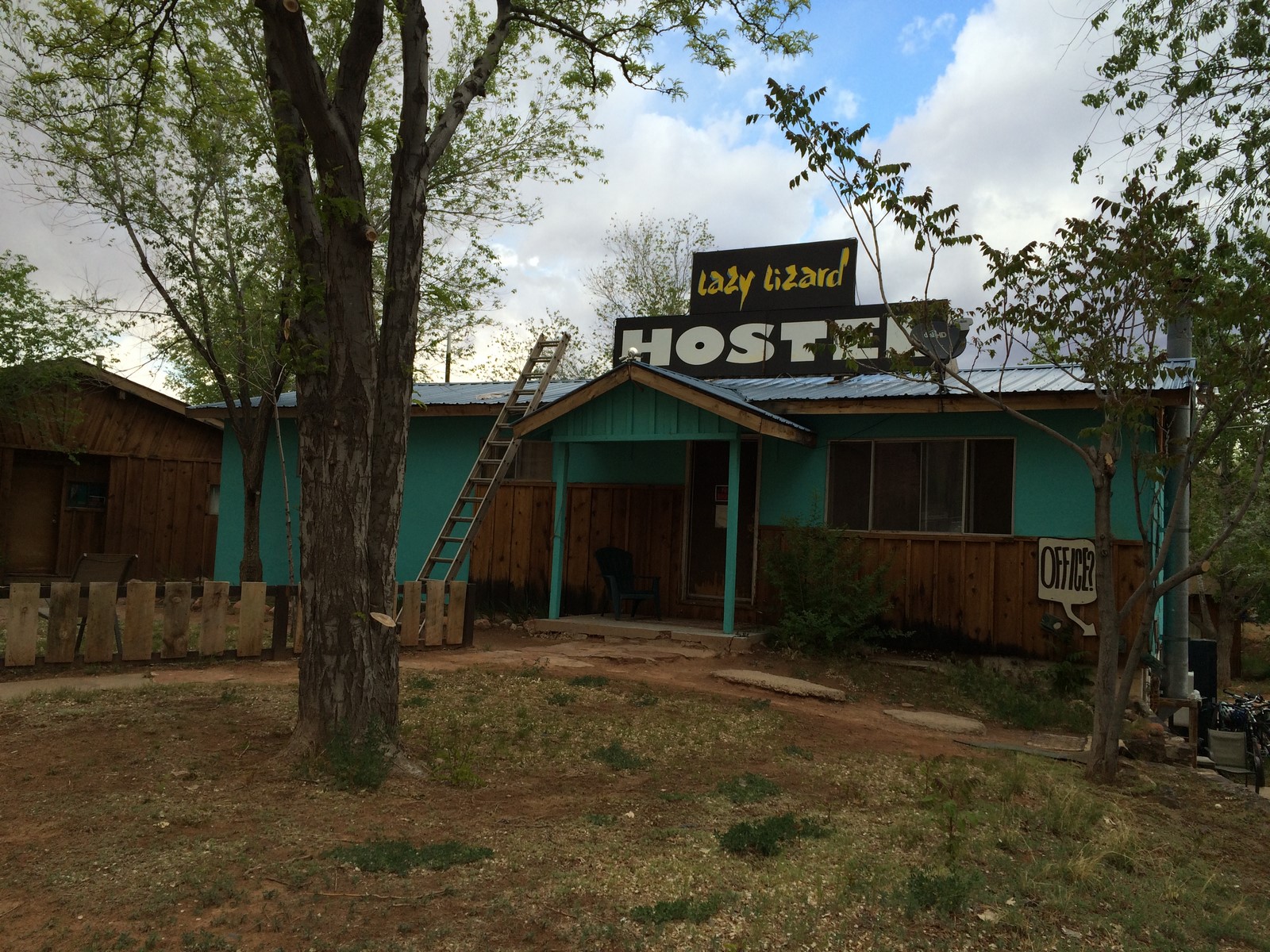
It wasn’t all bad that I started my trip a day late, because apparently there was a good bit of rain in Moab on my original arrival day. I got in Saturday afternoon and dropped Indy off at Karen’s Canine Campground (side note- if you have a dog and vacation in Moab, she’s wonderful. Indy got the special little old dog treatment, meaning he stayed in her house and got to sleep in the bed) I checked in to the hostel (side note #2- a dorm bed is $11 a night, and you’re getting exactly what you pay for) and went for a quick ride on the Pipe Dream trail that runs basically parallel to town.

IMG_7175 IMG_7176

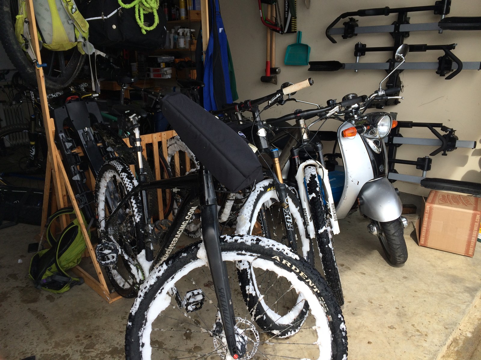
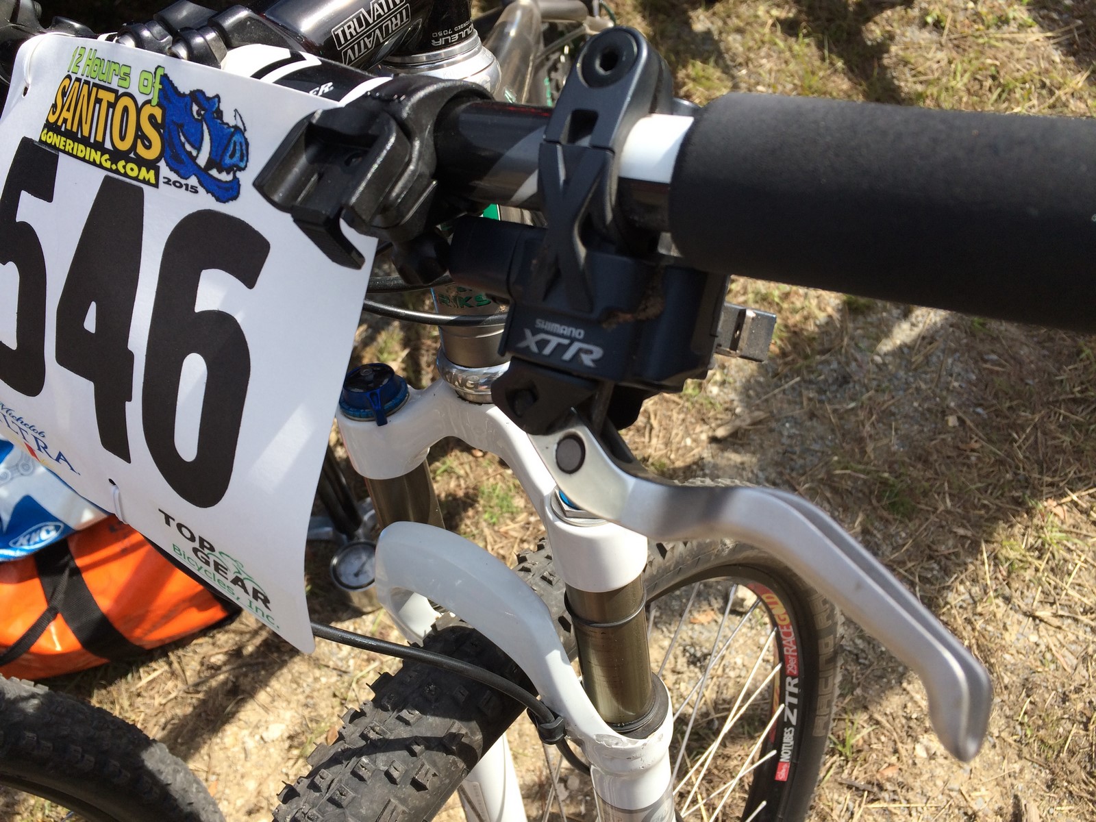
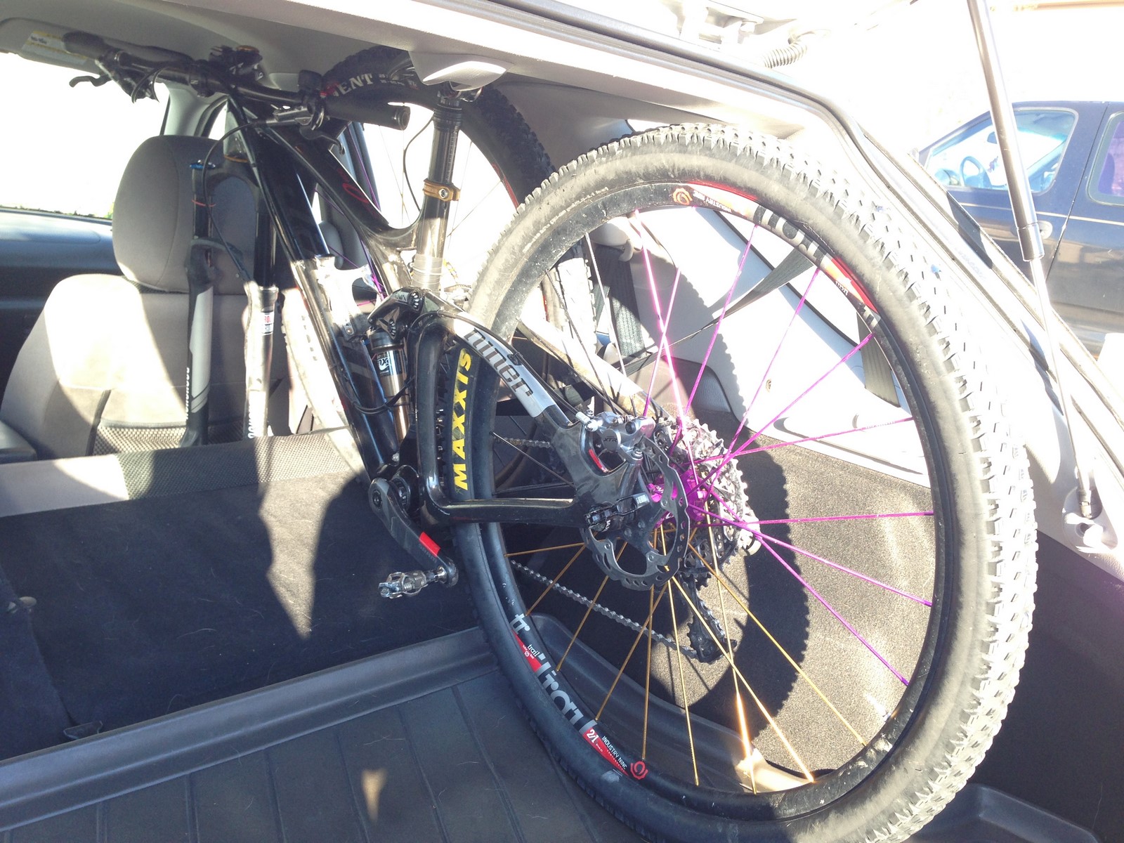
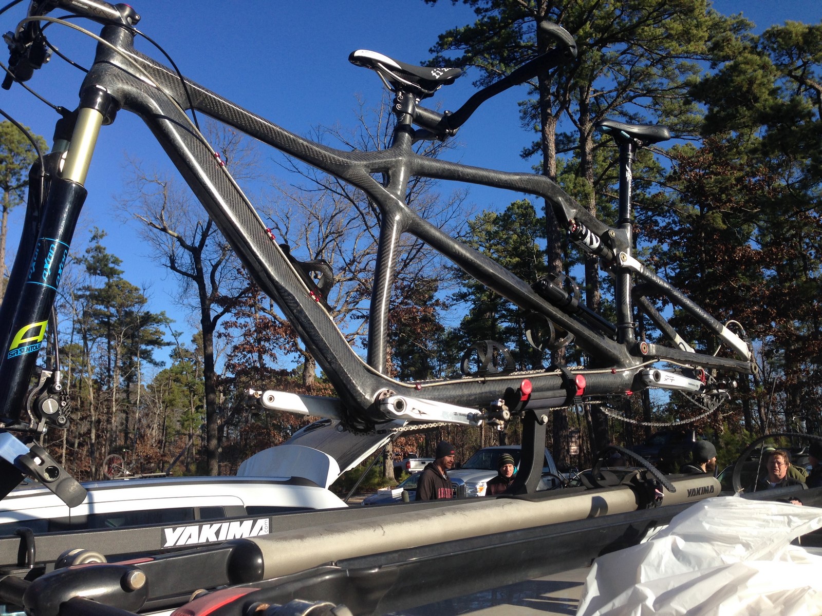
Oh yeah… I forgot to mention. I took the shop’s Mach 6 demo bike. Spoiler alert- I’m shopping for one of my own already.

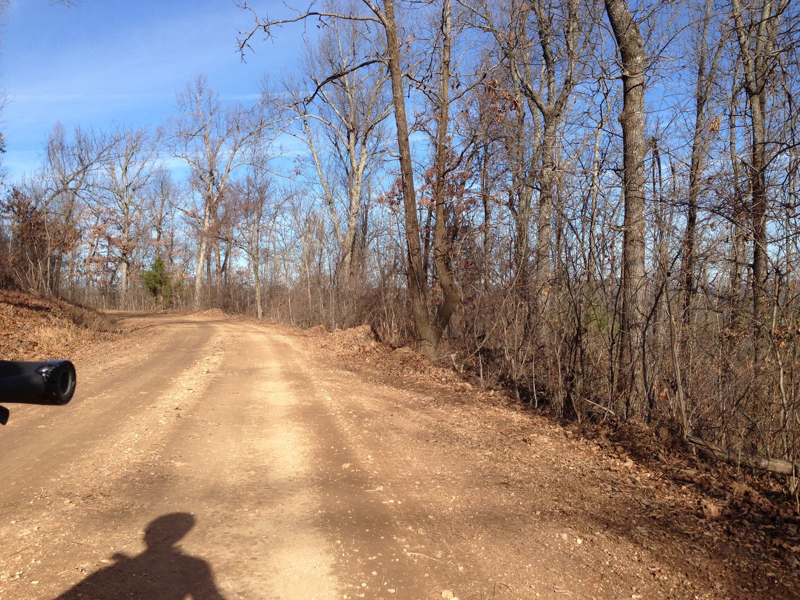
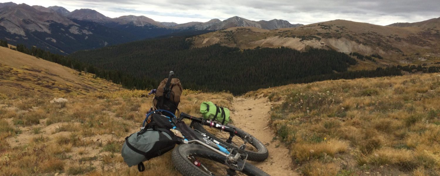
Sunday I wanted to ride all day. I’d never seen the iconic Slickrock Trail, and I noticed that it was on the way up to the top of the Porcupine Rim trail, which I’d ridden last time and wanted to try out on the Mach 6. So, I packed up and started my way up Sand Flats Road.

I don’t believe much that isn’t backed by peer-reviewed research. However, I do firmly believe in Trail Karma. I had no real trail karma in the bank for Moab, so, as I entered the Sand Flats Recreation Area, I paid my $2 day-use charge and also handed the attendant an extra two dollars and said it was for the next person who came through on a bike. He was a little confused at first, wondering if there was someone I knew coming through close behind me, but he quickly figured out that I was just being nice.

The Slickrock trail was cool. I highly suggest stopping in the parking lot and reading up on the history of the trail. It’s basically how mountain bikes came to Moab in the first place- people were attracted to the uniqueness of a trail that was almost all rock surface.

IMG_7180

IMG_7181

IMG_7183

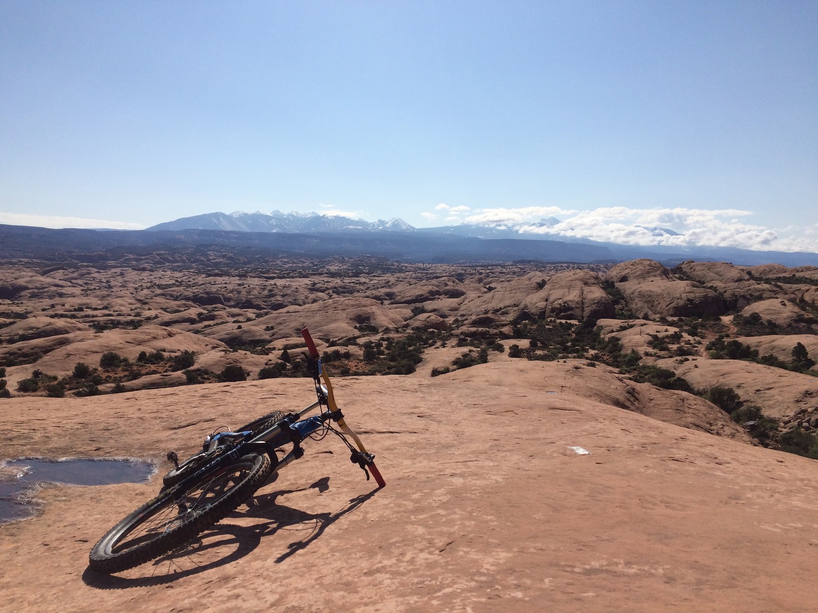
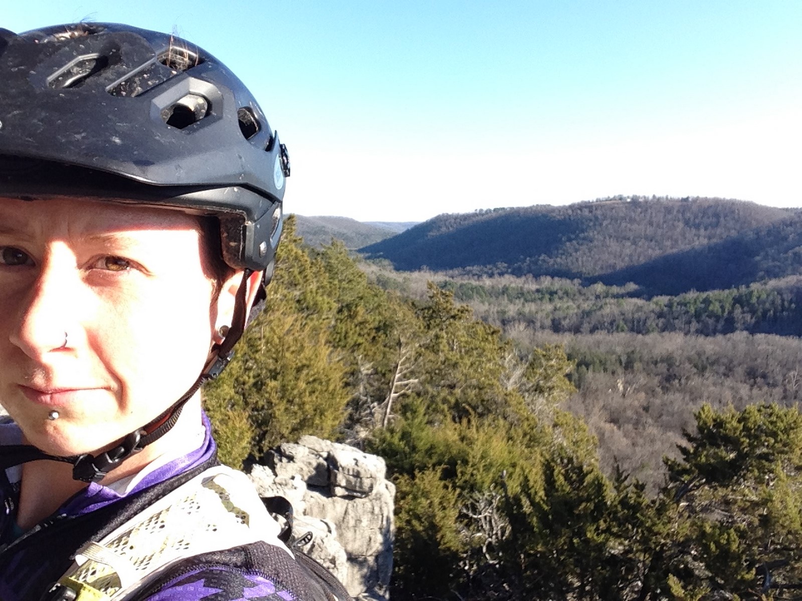
Note the distance between me and the La Sal mountains in the background of that last photo…

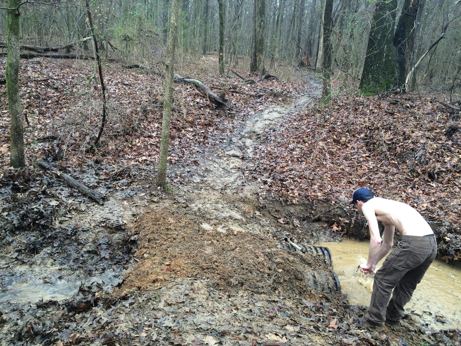
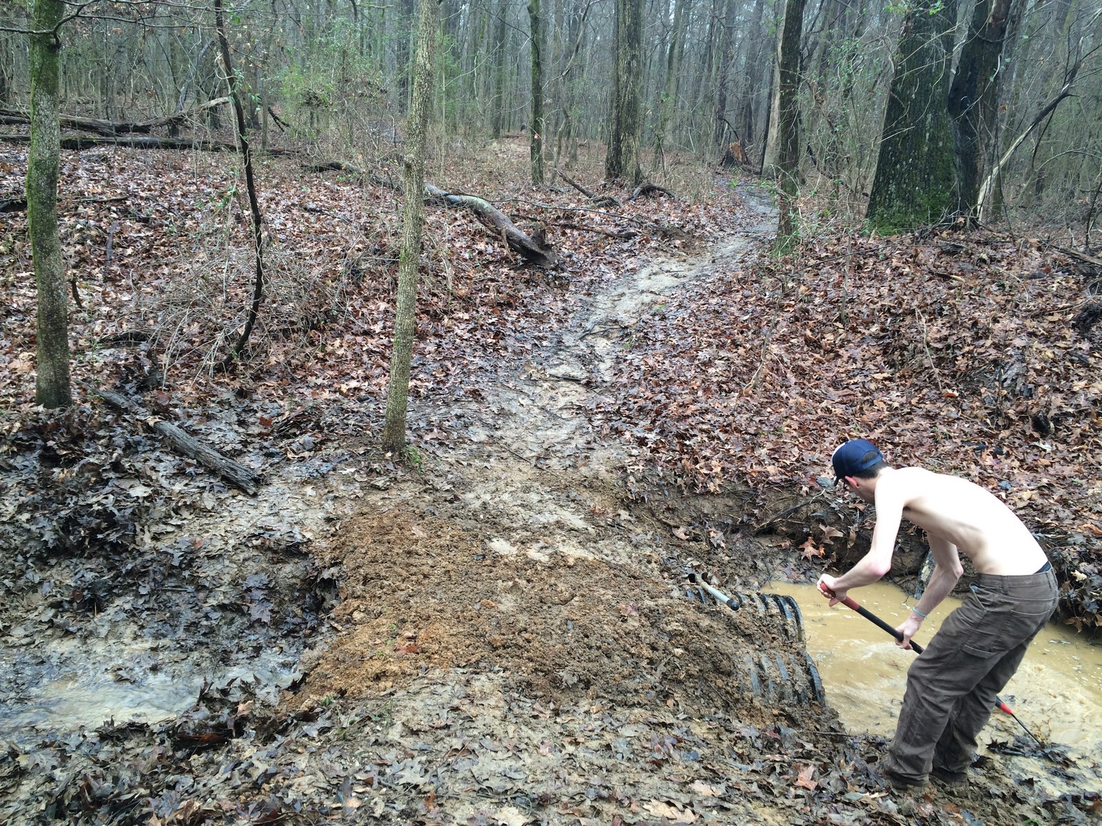
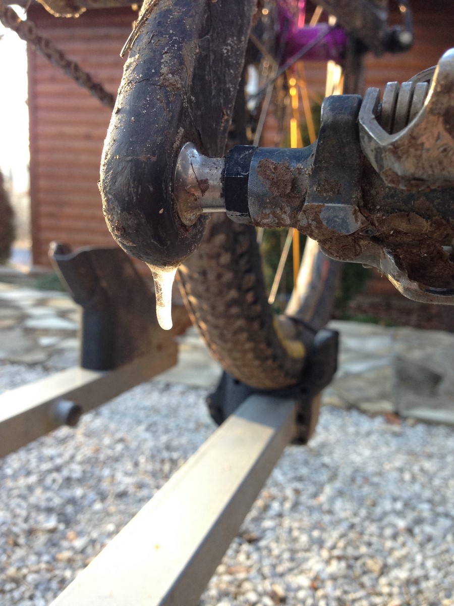
After a lap of the Slickrock Trail, I headed up the miles of climbing on Sand Flats Road to get to Upper Porcupine. My chain was squeaking and tweeting at me. Everyone out here uses dry lube because of the dust. I’m not accustomed to having to re-apply chain lube more often than I wash my bike, so it came as a surprise that a cumulative 4 hours of riding had left my chain in such a state. Lucky for me, the trail passed through several campground areas, and I saw a guy with bikes close to the road. He let me use some of his chain lube, and I was on my way.

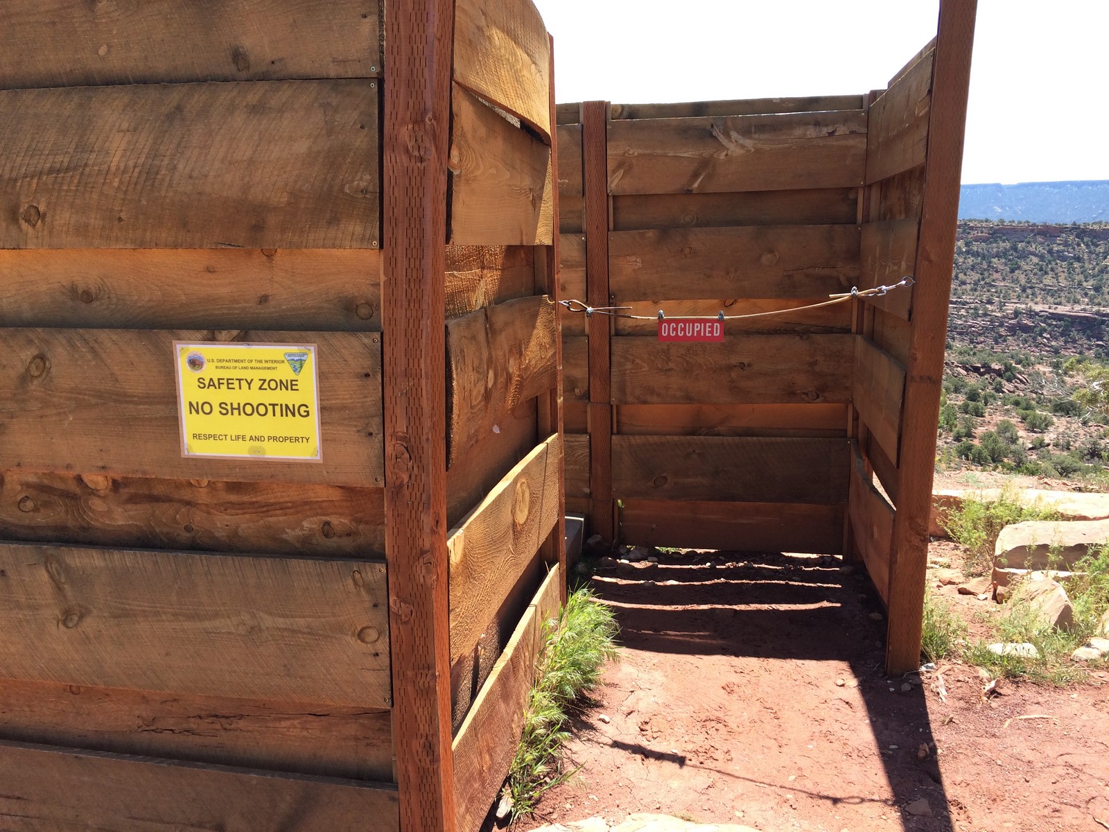
The timing of my ride couldn’t have been more perfect. All of the shop shuttles to Porcupine Rim had passed through already, so there was hardly any traffic. Also, the rain had knocked the dust down a good bit, too. There’s an open air vault toilet along the way.

IMG_7185

IMG_7184

Somewhere after about an hour of climbing, I was starting to get a little tired. A mile or two from the entrance to the Lower Porcupine trail, a truck passed me. They had bikes over the tailgate and had used a yoga mat for padding… only, the yoga mat slipped out just as they were passing me. I yelled and waved at them, but to no avail. So, I picked it up, rolled it tightly, and stuck it in my pack as best I could. I figured they were either parking and all riding down the trail, in which case, I’d toss the mat in their truck when I found it, OR, their shuttle guy would be driving back down at some point.

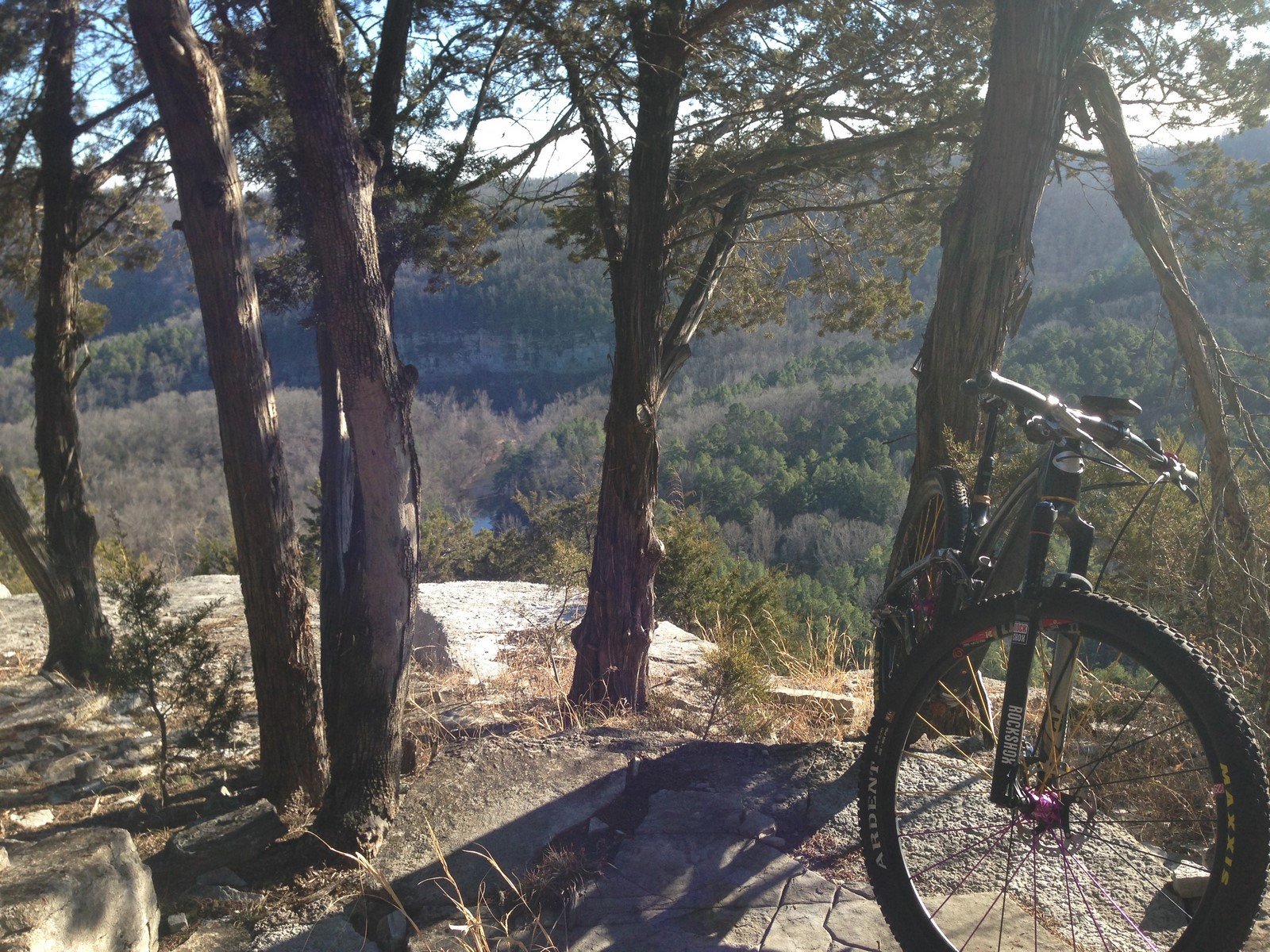
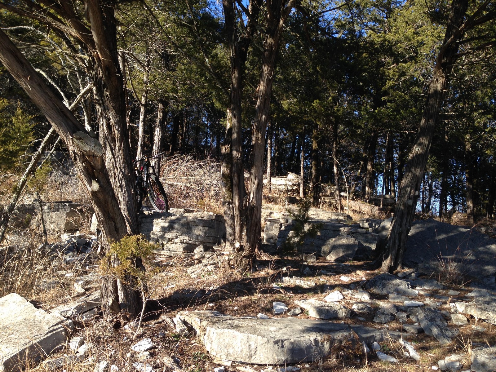
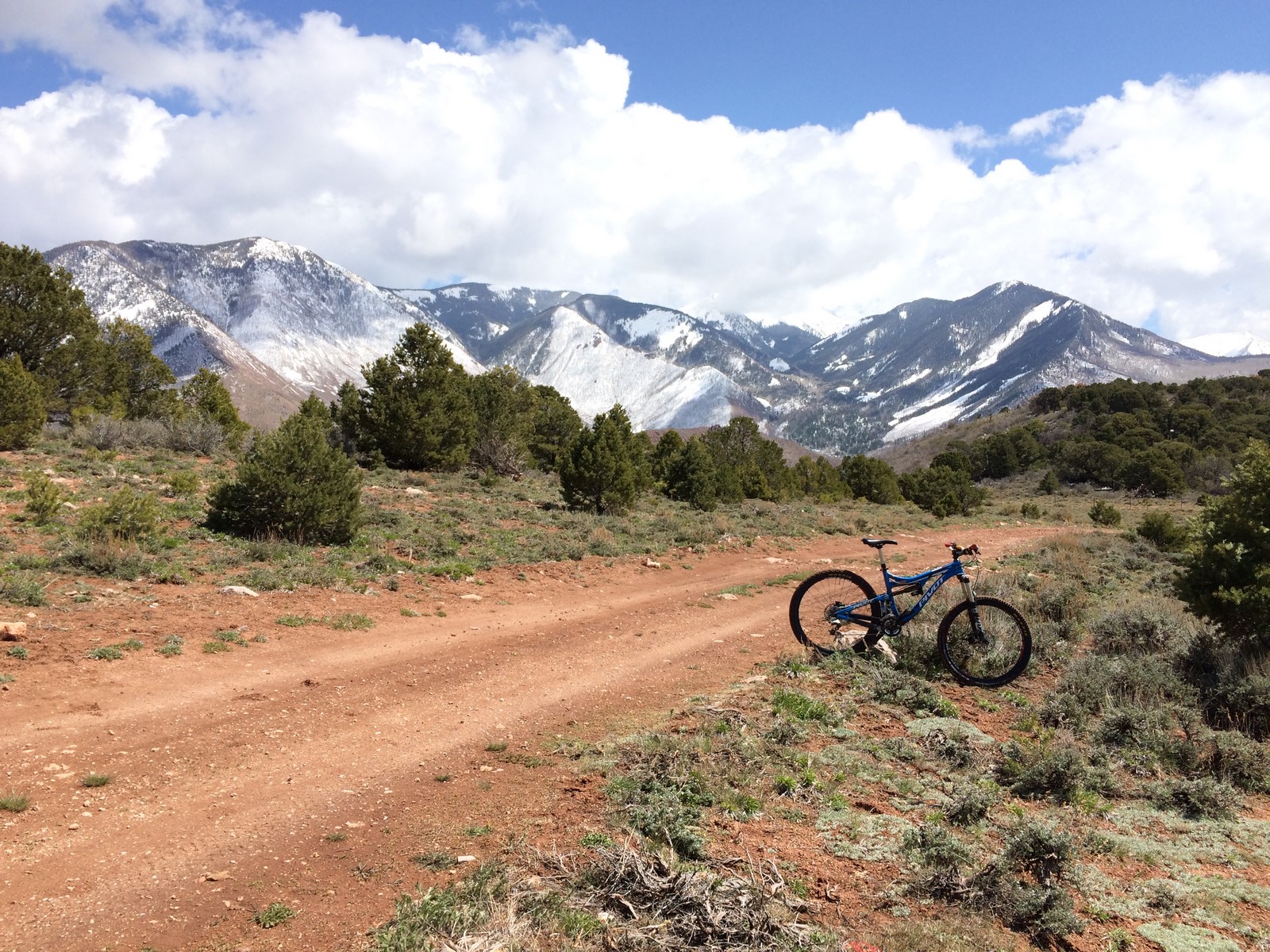
I reached the lower porcupine parking area and didn’t see the truck immediately. I stopped to eat a snack, and just a few seconds later, dude was rolling through and saw me waving his yoga mat at him. He stopped, we chatted for a minute, and he offered to give me a ride the last mile or so up to the Upper trail. I was tired, and it’d already been a little over 4 hours, so I was happy to take a break before hitting the long trail down (which is actually another 20 minutes or so of climbing on a steep, kinda muddy section of the Kokopelli trail). When you come over the last hump to the trail, the mountains are huge and looming.

IMG_7186

At first I was a little tentative on the technical trail features. One thing about this bike is that the bottom bracket is lower than what I’m used to. So, I had to really concentrate on not pedal striking. To complicate that issue, I’m used to Industry 9 wheels, which are way awesome for ratchet-pedaling over and through dicey spots. DT Swiss hubs may be great quality and all, but their engagement is junk once you’ve ridden I9s (don’t even talk to me about the star-ratchet upgrade… still not the same thing).

I eventually got the hang of the bigger travel bike and was confidently launching baby 1-2ft drops. Then, I happened upon this:

IMG_7187

Ok, so that’s huge (by my standards). I basically reached the point at which you either need to stop safely or maintain/increase speed and thought that it was not that tall and put in a couple of big pedal strokes before realizing near the edge that it was about a foot out of my comfort zone. At the spot where I realized how far down it was, if I’d hit the brakes, I basically would have fallen front wheel/head first down the ledge, so I committed as if I actually knew what I was doing.

expected

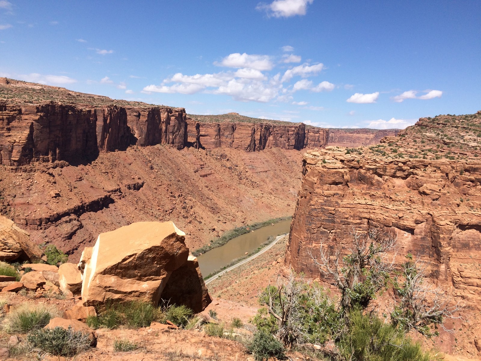
I landed and nearly rolled away giggling before realizing I needed to turn around and get a picture of that shit. The trail was amazing most of the way down. That’s the sort of singletrack that, every time you ride it, it gets a little more fun. Pretty soon, I was at the techy, exposed area that makes me walk out of fear of rolling off the cliff. I took the opportunity to get a picture of the Colorado River.

IMG_7188

To top off the greatness of my ride, the canyon was gorgeous and green from all the rain, and I was met with a nice tailwind most of the way back to the hostel.

IMG_7189

IMG_7190

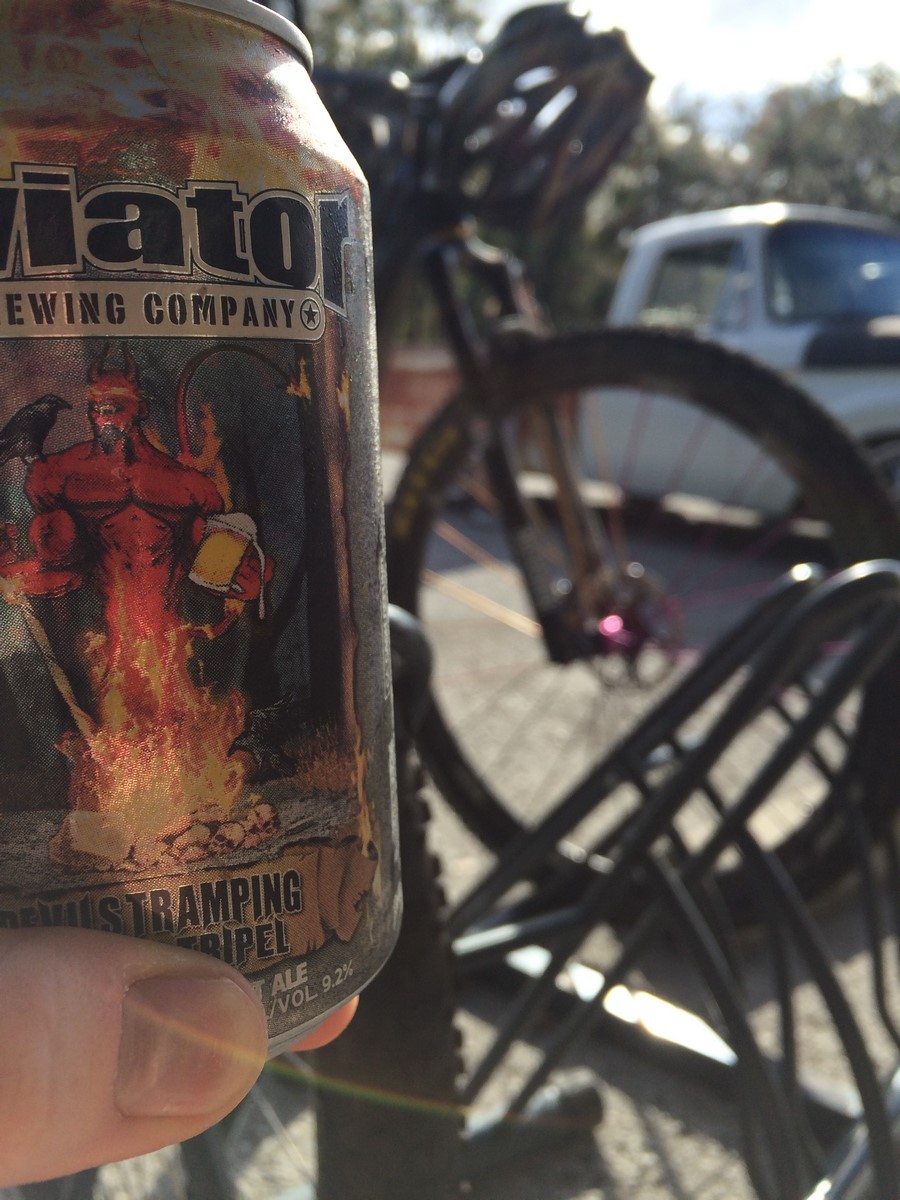
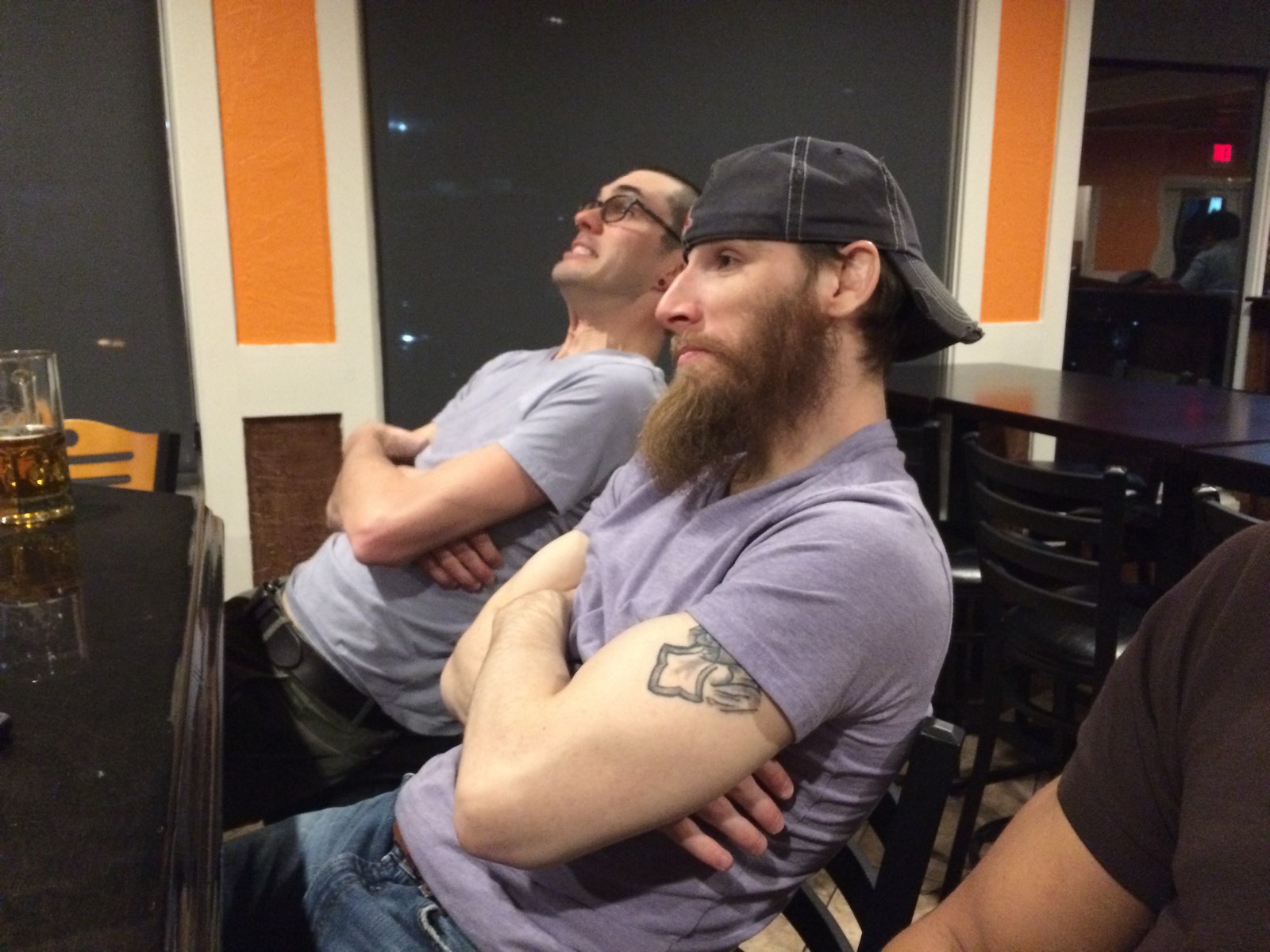
That evening, I went to the Moab Brewery and impressed two locals with my ability to put down a bacon cheeseburger and onion rings.

Seeing as it’s close to my bedtime, I’ll save the remainder of the trip for my next post…

The Great Snow Adventure

“When you realize how perfect everything is you will tilt your head back and laugh at the sky”

IMG_7081

This quote from Buddha summarizes my time in The West so far. No one’s life is perfect. No matter how much they make it seem like it through social media and/or social interaction, there’s always some sort of struggle or strife or difficulty. However, there are moments that are absolutely perfect. I’ve taken to engulfing myself in every single one of them.

Sunday after morning yoga (I found a cool studio in Nederland about 20 minutes away), I scoured Google Maps, took some screen shots for later reference, and headed out on a county road that, according to everyone, would, at some point, be covered in snow. I’d never seen a road covered in snow, so I wanted to go to there (Apex Valley Road, going up Dakota Hill, for you local-types).

Most of the way up, the road was dry and in great shape

IMG_7074

Near the top, the road begins to steepen and switchback. There’s a gate that looks as if it’s used to block traffic when the road is snowed in, and it was open. I was passed by a couple of jeeps along the way. As I neared the summit, one of the jeeps was returning. The driver waved at me and said something about turning around at where the road ends at a tower. I knew from the map that the road shouldn’t end, and I knew from scouting Google Earth that there was an offshoot (that wasn’t on the official road map) that would take you to a radio tower from the final switchback. Hmmm…

I continued up, and noticed that the “clear” road straight ahead wasn’t on my garmin map. The road on my map seemed to switchback sharply to the left, where there was no immediately visible road. It literally took me a minute of head scratching and wandering to realize that the 2-3ft tall snowbank to my left was, indeed, the “road” I was looking for. I took this picture from the “corner” of the switchback. On the left, where I came from, and, on the right, where I was going.

IMG_7076

I was pretty giddy at that point. I took a few photos as I hiked and pushed and carried my bike.

IMG_7078 IMG_7079

I finally reached the top.

IMG_7080

At that point, the “road” went downhill somewhat steeply (reference the top photo). It was enough of a grade that I dropped my seatpost and coasted down with my feet stuck out wide as outriggers as I drifted side to side. I laughed a lot.

It eventually leveled out a little and I had to hike some more.

IMG_7082

At one point, I thought that the hiking portion of my journey was over

IMG_7083

But then the trail circled more to the north side of the hill, and I walked some more. The snow at that elevation had occasional spots where I’d step and fall through to the bottom, leaving me thigh-deep with my bike on top of me a handful of times.

IMG_7084

I got kind of lost after that. I passed an intersection that was on my Garmin but (unbeknownst to me) not on my map screenshots. I went under a gate that I thought was another “road closed for snow” gate, but then passed a compound-like set of cabins and large tents. Luckily, no one was there, because the next two gates I went under before I reached the main road had large “No Trespassing” signs on the front sides of them (the top one hadn’t had any sort of private property/no trespassing markers). I hightailed it out of there and descended to the highway to get back home. It was only 26 miles, but had taken over 4 hours and included just over 4k feet of climbing (and no telling how much hiking/pushing).

It was exactly the type of adventure I’d been looking for. To top it off even further, when I arrived back at the house, there were Easter Dinner leftovers still warm on the counter. I ate large quantities of food then Indy and I laid back in the Elevated Legs in the RV bed with a sleeve of marshmallow Peeps and my Colorado Trail Databook. I can’t think of many more perfect days than that.

IMG_7086

Finally Snow (not sleet) Days

Last week, we had what’s hopefully the crux of our winter weather in the South. Overnight and well into the morning hours, we received a swath of sleet followed by 4-5 inches of snow. Indy was not amused when he got up for his 5am potty…

IMG_6816

Though the windchill was somewhere near 20 degrees, Ryan, Matt, and I went out for a snow ride. It was somewhat precarious at times. Any place that cars had driven on the road, the snow had packed down into icy ruts. However, we were able to make it safely out to Shelby Farms. Any place where the ground surface was gravel or pavement was pretty easy to ride on. The slow-going parts were the dirt, which was still soft and muddy beneath the snow  in any low-lying areas because of warm monsoons the previous days. Flat pedals were a smart idea.

IMG_6818 IMG_6819

IMG_6820 IMG_6822

IMG_6825

What would normally have taken about an hour to ride ended up taking a surprisingly strenuous 2.5 hours. The rest of the day was spent hiding under blankets and watching season 18 of The Ultimate Fighter.

IMG_6828 IMG_6803

The next day was a gorgeous Colorado-esque scene of snow/bluebird skies. Ryan decided to go in to work (as opposed to working from home the previous day), so Matt and I, in lieu of being stir-crazy, went out for a snow walk (the road conditions were worse for riding, and the ground under the snow was still too soaked for a good off-road ride). At the park near the house, I practiced snow-jitsu and rolled a gigantic snowball until it became nearly too heavy to move.

IMG_6836 IMG_6838

Total snow-rookie move? I got sunburned pretty bad on my face. At least I was wearing some good, dark glasses.

Now, it’s mild and damp. I don’t think I’ve seen the sun since I took these pictures. It’s just been ~50-60 degrees and raining most of the time. To put this winter’s terrible weather in perspective, the trails have been too wet to ride since Valentine’s Day, and there’s no dry end in sight. They’re totally saturated now, and it’s still intermittently rainy.

Matt, John, and I went to Herb Parson’s Lake last week before the snow and did some draining/repair on a couple of miles of trail, but the effort might be akin to using an icepick to break apart a glacier.

IMG_6805

Ruts like the ones above were on the length of the entire trail (not just in the low spots… I’m talking the entire section of trail that we walked). At least a couple of people had said “eff it” and ridden despite the ground saturation. Our turnaround point was this culvert, which had become blocked with leaves, forcing the water over the top and washing away the surface dirt.

IMG_6857

We unblocked the flow and dug a downstream hole to re-cover the pipes.

IMG_6809 IMG_6808

IMG_6807 IMG_6806

Hopefully the areas we repaired are OK. There were a couple of groups of riders who went to the trail on the snow day. Given the sogginess of what we briefly rode at Shelby Farms, it’s possible that the wet mud repairs we made were tracked through. It’s also possible that the ground was a little more frozen at the lake than what we found in town. Hoping for the latter.


Santos Vacation 2015

Oh gawd, it’s been forever since I posted something. Partially because of the trip I’m about to write up, and partially because I’ve been busy doing all sorts of random things with dogs and my car, which are both in various states of sickness.

If you’ve been reading along, you saw that I recently had to deal with Turbo, my 13 year old Belgian Malinois, nearly dying from side effects of the onset of heart failure. She’s stable and happy now, but the cost of emergency and follow-up care vaporized the budget I’d set aside in my mind for taking a foul weather-escaping trip to the Santos Trails in Florida. Then, Wednesday night last week, I was at my parents’ house when I mentioned how bad the weather was going to be (again) and, while I was glad Turbo was doing ok, I really needed some long training hours that I just wasn’t going to gut out in the slush here in Memphis.

My mom said she’d like to go to Florida. I took her up on it, and, early Friday morning, we were literally outrunning a sleet storm to get ourselves down to Ocala.

IMG_6734

Saturday, I had to make morning trip to Target to cheaply replace the hydration pack I’d left at home (again).

IMG_6739

Once I hit the trail, I rode out and back along some of the OMBA Epic Ride route. The best maps I’ve been able to find are on this page, though none of them show 100% of what’s there. I stopped along the way to visit folks racing the Santos 12 hour. I was slightly tempted to race, but glad decided to just go out and have fun instead. I found Dicky immediately following his discovery that he and his teammate were in a podium spot and actually had to concentrate on racing.

IMG_6740 IMG_6742

I also saw some old school components

IMG_6741

I quickly discovered that the trail was covered in a much-thicker-than-last-year layer of fallen live oak leaves.

IMG_6769

They’re super slick, so the turns were occasionally treacherous. Live oak trees are some of the most beautiful living things on the planet, though, so they’re totally worth the leaf surfing. I sort of hate posting pictures of them, because a camera phone doesn’t come close to capturing their enormity.

IMG_6743

IMG_6745

IMG_6744

By the time I made it back through the race course area, I was out of water. I stopped and wanted to beg for some in the pits, but everyone was somehow distracted by racing or partying, so I just took this picture and left.

IMG_6747

I made it a point to reserve a nice room with a kitchen so that I could cook healthy meals for my mom and myself. Meal #1 was steak and broccoli (I added some bread toasted with olive oil for a few extra carbs).

IMG_6748

Sunday’s adventure started with a little sightseeing. We drove west a ways and checked out the Gulf of Mexico.

IMG_6752

Since I didn’t want to ride as long that day, I had my mom drop me off at the far west end of the trail system at the Pruitt trailhead. I found out from this scenic spot where the trailhead gets its name:

IMG_6754

IMG_6755

I had calculated that my ride would take around 3 hours, so I drew directions on a map for my mom and told her I’d be at the east end of the trail around 3:30. My plan was to have her pick me up at the Greenway Bikes shop. When I arrived, it was exactly 3:30, and I went inside to purchase a beer and sat around enjoying the sun and waiting on my mom.

IMG_6756

My mom proceeded to get very lost while she tried to find the shop. The shop closed at 4, though one of the shop guys stuck around until 4:30 because he was trying to be nice. I shooed him off and found a shady spot. Around 5:something, the shop owner, Dano, pulled up. We chatted some, and he was nice, though, he asked me where I was from and where I was staying and why I was waiting around at least three different times. He offered to split a Victory V12 with me, so I didn’t stress his apparent lack of sobriety too hard.

My mom eventually found the shop. Dano was still there, and, in the course of his repeated asking of where are you from/where are you staying/where are you going to dinner tonight, my mom, being the proper Southern woman that she is, though obviously a little uncomfortable dealing with someone who was less than sober, asked him, “where are you from?” He replied back with a crude answer about his mother’s anatomy… to my sweet, proper, Southern, 70ish year-old mom.

Given the absolute absurdity of the situation, I found it to be pretty hilarious at the time, though, looking back, I somewhat regret not losing my shit with the dude and telling him to apologize for being an ass.

IMG_6757 IMG_6759

Needless to say, if you’re at Santos, keep your moms away from Greenway Bikes.

At least the beer was good.

IMG_6760

That night, we had chicken thighs and green beans with a spicy mustard & yogurt sauce (the sauce was my mom’s idea).

IMG_6761

I was stoked that I’d picked up a little vitamin D while I was out.

IMG_6763

My third and final day was the long one. Since I’d stopped for photos and navigation on the previous days, I decided that I’d only stop once an hour for a food break (the Target pack didn’t have hip pockets, so I had to take it off of my back to get to my food). I rode to the far end of the trail system and back- approximately 32 miles out and 23 miles back. I did stop to take a look at this guy along the way:

IMG_6768

I also stopped when I wrecked at mile 52.5 of 54.5. Leaf surfing is only one mph away from leaf teleporting. Back at the trailhead, I ate a snack and cooled off a bit. I still had a good bit of daylight, so I wanted to go back out and ride a lap of the Vortex Loop- the tech loop a couple of miles from the main trailhead.

IMG_6770

While I was trying to figure out where the loop started, I met Tim, the owner of Spokes mobile bike shop. We chatted a bunch and he showed me a lap of the trail. I like the bermy fast stuff that makes up 98% of the trails at Santos, but the Vortex loop feels a little like Arkansas. Tim and I made a hot lap and headed back to the main trailhead. I ended up with nearly 6 hours of riding for the day… a great way to finish off the 3-day vacation.

Outside of Florida, the South wasn’t doing so well.

IMG_6772

I wished that we could have stayed there way longer. The sun and opportinity to train hard on fun trails temporarily hoisted me up from my baseline of mild depression, so it was a mental vacation as much as it was a physical one.

The weather in Memphis is still pretty terrible (as it is most places that aren’t Florida). I’ve only ridden once since I came back, though I’ll probably hit the trainer this morning before going to an inversion workshop at Pike Yoga.

The light at the end of my cold, dark tunnel?

moab

We’d originally discussed my Colorado sabbatical beginning the first week of April. However, Jon Davis (owner of 92Fifty), scheduled the 92Fifty Moab camp for March 26th-29th, and he wants me there A)because they need a mechanic to work on participant bikes, and B)it will give me a chance to meet and bond with the people who come to the shop most often.

That’s not to say it won’t be cold when we return to the mountains after camp, but the sun is bright there, so I don’t think it will be too bad.

Adventuring in the Covington Pike Bottoms

The weather in Memphis has been totally normal this week… that is to say, we rode in short sleeves on Saturday, and on Monday, we awoke to piles of sleet on the ground.

Sticking with our theme of being bored with the same trails (and knowing that since the weather was great on Saturday that those same trails would be packed), Matt and I struck out to explore what local cyclists call the “Epic” trails. More often, they’re referred to as the Covington Pike Bottoms, and they’re equally as popular for ATV pilots as our usual Shelby Farms trails are for runners, hikers, and cyclists. It’s basically a bunch of tracks through the woods along the south side of the Wolf River (and, as you venture westward, crossing to the north and continuing on towards the Mississippi). They stay incredibly muddy year round because of the ATV traffic, though when it hasn’t rained for a couple of weeks, you can pick your way around the bogs and have a pretty nice adventure.

As of Saturday, it was very slow going- the ratio of good riding to “picking around wheel-deep mudholes” was about equal. A summer drought is normally your best chance for a higher ratio of riding-to-bogging. We still had a good out and back adventure, though… occasionally stopping to watch ATV drivers and whatnot.

IMG_6685

IMG_6688

IMG_6687

On the way back, we were stopped at a neighborhood trail entrance by the Memphis Police. More accurately, two cops were arresting ATV drivers as they emerged from the woods and into a neighborhood where the residents were fed up with loud, somewhat drunken jackasses going 50mph up the street and slinging mud all over the place. One cop told us to get on someplace else because they were going to go in and get more people out. We found a suitable detour, though, and stopped to make friends with people we met along the trail back to where we’d started.

As is customary for all weekend blog posts, we met with friends to watch the UFC Fight Night at El Toro Loco. Matt made a matching shirt buddy while Torian and I made fun of individuals who exemplified our respective racial stereotypes.

IMG_6692

Sunday the weather transitioned from nice to arctic-ish. People battened down the hatches in preparation for a winter storm that would eventually dump several inches of sleet across Tennessee. We took an evening adventure to WalMart and speculated a purchase of a fatbike, but decided against it. It was an entertaining trip, nonetheless.

IMG_6702

Screw the milk, bread, and batteries…

IMG_6705

The storm system didn’t disappoint, if it was buckets of sleet you were dreaming about.

IMG_6707

I was happy to have a chance to test out my all wheel drive vehicle

IMG_6714 - Copy

IMG_6715 - Copy

IMG_6708

High quality entertainment right there.

I was tempted a couple of times to go ride, but ended up deciding against it because A) in order to not get hit by a stupid driver, you’d need to drive to a trail to ride, and B) it’s solid ice… not snow. It’d be like riding on a rutted hockey rink. I’ll stick to trainer rides and donut-ing my car in parking lots.

More Bikes and MMA!

Hey, another weekend of riding bikes and doing MMA stuff! I’m OK with this trend…

Matt and I struck out on a “typical” Wolf River Trail ride from the house on Saturday. The only modification we were going to make was a stop off at the U-Haul just off the north end of the trail in order to pick up the coffee mug I’d accidentally left in there earlier that week while they were installing the hitch receiver on the Impreza. After the pickup, we were going to head back south and follow the usual trails back home.

However, once said mug was tucked into Matt’s Osprey pack and we were re-entering the trail, we discovered a 4-wheeler trail continuing north. Sense of adventure kicked in, and we began following it into the unknown. I don’t think that anyone in the general public knows who owns the woods immediately adjacent to the Wolf River, but given the lack of policing of ATV traffic in the area, I don’t think anyone cares. It’s one of those good/bad things about this city- we get the opportunity to go on these sorts of adventures, which is good and exciting. However, the opportunity exists because no one “cares” about that part of town, and the police in the area are far too busy taking care of the (frequent) “real” crimes in the area to worry about trespassers in the woods.

It’s definitely not a place you’d go alone.

We ventured out as far as we could, given our time constraint. We needed to be back at the house in time to finish prepping for some friends to come over and watch the UFC 183 Pay Per View at the house. We’d talked earlier in the week about meeting at a sports bar, but I’d then decided to say “eff it” and buy the event to avoid the crowds and crappy service. It turned out to be an excellent choice.

IMG_6563

Because, at Buffalo Wild Wings, there’s not enough room to imitate Nick Diaz during round one:IMG_6565

You also don’t have couches, blankets, and a chair that’s usable as workout equipment:

IMG_6566 IMG_6567

Sunday morning, I awoke to rain. Steady buckets of rain. For reasons only known within the depths of my brain, I felt like suffering. So, I went out on my cyclocross bike and did a 20 minute power test in the rain.

IMG_6569

The power test was alright. I needed the baseline if I am to start adding in some structure to my workouts. It wasn’t my best by far, but also not my worst February 1st numbers, either. The suffering part? Well, it ended up being too warm to suffer. Other than feeling a bit muggy in my jacket while I was going full-gas, I was pretty comfortable.

Suffering, denied.

Later in the afternoon, Matt and I went to watch Torian (from the previous night’s antics) test for his jiujitsu rank. I’d never watched such a thing, so it was interesting to get a feel for how it works (though, according to John, everyone who is capable of ranking/promoting students is different).

IMG_6598

That night, we hung with much of the same crew for a Superbowl party. Also, I rallied the Impreza through some wet gravel in John’s neighborhood, which, though the game and company were good, may have been slightly more exciting. I can’t decide if I should wash the mud off or not. It kinda looks more natural with the dirt splatters all over the front end/windshield.

Syllamo Work/Ride

I don’t have a receiver hitch on my new car yet, so this weekend’s trip was a test of how well my bike fit inside the Impreza. The dropper seatpost made short work of packing:

IMG_6413 IMG_6414

That car is entirely too much fun to drive on mountain roads. Years ago in another life, I used to do my fair share of “unsanctioned competitive driving on public roads.” I sold that car (a Honda DelSol with a few modifications, one of which was nitrous oxide), sometime around 2007, and have been driving less sporty vehicles since then. I’ll admit, the Impreza is re-awakening my deeply repressed speed demons.

I packed and left early enough on Friday that I had time to ride most of the Yellow trail Friday afternoon. I’d heard that the Calico Rock prison inmates had worked out there some, and I wanted to see what all was done (last time I was out, the yellow trail was pretty rough still). I found that they’d worked from the north end of the yellow down the easier sections and about a mile in to the longer, more difficult area to the south of Blanchard road. They are cutting a true corridor. It could potentially change the personality of the Syllamo’s Revenge race in May because they’re opening up room to pass in some areas where there previously wasn’t. It looks pretty extreme right now, but within a year, the dynamic nature of the trail will take over, new rocks will grow from the ground, and singletrack will be very single again.

I had just enough time to stop at the overlook and take a few photos.

IMG_6417

IMG_6418

IMG_6419

Back at the car, I met some guys who were in town for Saturday’s trailwork day. They were getting an early start with a little afternoon clearing (and post-work beering).

IMG_6421

I made it back to the cabin in time to catch the sunset. I don’t know how many of you have sat and watched a sunset from beginning to end, but I’d highly recommend it. The process I watched from the porch involved the “right at sunset” oranges and yellows which, about 10 minutes after the sun disappeared behind the mountains, would give rise to full on golds and reds, which were eventually swallowed up by blue and gray darkness from the east. All you need is a porch, a glass of wine, and a blanket. Give it a shot.

IMG_6438

IMG_6439

IMG_6440

Saturday morning, a group of 20ish people gathered at the Scrappy Mountain trailhead. We split into two groups, and mine went out to one of the worst sections of the yellow trail for line trimming and major tread repair in an area that (surprise!) was logged off in the past few years and had since become an ongoing problem with overgrowth and erosion. I ran a line trimmer for the better part of 3 hours while others repaired the singletrack-wide and hub-deep washout that had eaten into the exposed tread. Around noon, we stepped back to admire our work and have a brown-bag lunch (ham on white bread… which, at the time was excellent, but was felt in my insides for the next two days).

IMG_6431 IMG_6432

Random tandem, built by Frank at the Carbon Repair Shop.

IMG_6430 IMG_6429

After lunch, we worked on maintaining a section of bench trail near the parking lot. It was leafblown, and the rocks that had filled in the “bench” were either raked or cut out. I used something that was basically an axe handle with this sort of head-

trail-boss-packable-work-tool-9241

…to cut the worst parts of the collapsed bench. I’d swing and chop while a couple of guys followed me with rakes to even out the surface. Then, I accidentally deleted the good photo of the work we’d done. So, you’ll just have to go ride it yourself and admire the blister I procured in the process.

IMG_6435

That evening, the sunset was as beautiful as ever.

IMG_6449 IMG_6448

I also finished the puzzle I’d started last time

IMG_6451

Sunday, I’d planned an epic ride. I started out around 11 at the Green/Orange loop trailhead, and rode the Green Trail, then part of the Orange and Blue down to the Highway 5 trailhead- about 10 miles. Then, I realized, at 1 hour and 22 minutes in to my ride, that the pocket of my pack was open, and that there was no iPhone where there should be one. I resigned myself to either walking or riding at 3-4mph back up the trail I’d just come down in hopes that it’d turn up. Three hours later, I was back at the trailhead parking lot without a phone. There were multiple cars there (the Green Loop’s scenery, shortness, and proximity to the main road make it a popular afternoon hike for locals). I started my backtrack, talking to any hiker or biker I saw along the way. Still, no dice.

Then, about a mile and a half in, two ladies were coming towards me while I was walking (with my bike) up a hill, staring at the ground. I asked them if they’d seen a phone, and on of them looked very excited. She asked me to describe it, and, when I told her the case color and that there was a picture of an adorable black and white dog sleeping on the lock screen, she pulled it out of her pack and told me they’d found it right by the parking lot.

lock

My day was (somewhat) saved. I headed back towards the parking lot. I almost packed up for the day, but then decided to make some happiness watts up Green Mountain Road to check out the parts of the trail we’d fixed the day before. Not exactly the epic I was hoping for, but I was out in the woods for upwards of 5 hours, so there’s that.

Monday morning, I decided I wanted to ride the parts of the trail I’d had to walk the day before. So, I rode the Blue and Orange trails clockwise… in my “expert” opinion, the climb from the Highway 5 Trailhead back up the Blue and then Orange trail is the most difficult climb of the entire system. It’s way harder than the CCW climb up the “staircase” section, because it much steeper and looser. While I was out, I blocked off a go-around on the short but techy “east of Highway 5” section. There were fresh tire tracks on the right side of that tree. You know who you are…

IMG_6456

I ran out of time to do the whole loop, so I finished up on Green Mountain road. I was trying to get a photo of my shadow. None of them turned out very good, but right after I took this one, a bobcat ran across the road in front of me. It’s probably just out of the left of the frame in this one:

IMG_6461

It’s always a little (or a lot) sad to leave the mountains. However, I had to get back to Memphis so we could record this week’s episode of Just Riding Along. Oh yeah- and my Pillar wheels came in. Unfortunately, I broke another damper in my Rockshox SID RCT3 fork, so the bike that the wheels are going on (the Jet9) is now out of commission. I’m hoping that I can finagle a Pike out of the warranty, because the SID obviously wasn’t made to handle what I’m (or lot of others, apparently) are throwing at it. I also start physical therapy for my knee this week. The patellar tendinitis that struck down my winter running hasn’t fully healed itself, and has kept me from doing anything plyometric- like kickboxing or other cross training. So, I’m hoping to finally get that resolved.

In the next day or two, I’ll have an official team/sponsor announcement. Still working out the final kinks so that I can give you all the info you desire.

Training Camp 2014(5) #3

As I mentioned before my post about logging, it rained solidly from Thursday afternoon until Saturday morning. I chose to ride the Red trail because its gravelly surface means it is basically unaffected by any amount of rain. To add difficulty, I wanted to ride from the Blanchard Springs Trailhead, meaning I’d climb a forest road to get up to trail level. However, I arrived at the trailhead to find that the low water crossing to get from the parking area to the trail was flooded.

 IMG_6268

IMG_6265

IMG_6267

Water like that is nothing to mess with. I could probably make it across. I could also get cold, wet, and/or seriously injured trying to make it across and failing. So, I put the bike back in the car and drove around to the usual trailheads on Green Mountain Road. I parked at the 2nd one and rode the couple of miles up to the Red Trail. While I was out, a layer of clouds settled in on the tops of the mountains. Everything looked surreal. These pictures don’t really do it justice.

IMG_6275 IMG_6279

IMG_6287 IMG_6288

The previous rest day made me feel beast-like. I ripped around the red trail faster than I’ve probably ever gone, with the exception of stopping to climb down the mountain a little to look at a waterfall I could hear roaring from the trail.

IMG_6270 IMG_6271

Once again, pictures don’t do it justice. It was a maybe 2ftx2ft hole in the side of the mountain with water gushing out like someone had blown up a water main. Springs like that were roaring all over the mountains’ sides. Other than that stop (and the one from trailside in the pics above), I hammered out a lap like nobody’s business. I had that “on top of the pedals” feeling that makes you feel like riding until you can’t pedal any more. However, I’d decided that I wanted to ride long the next day (also, my extra driving to switch trailheads had really eaten into my available daylight).

When I started prepping to ride the next day, I wanted to do my “Baby Epic” loop with some extra trail added. Since there are a couple of Livingston Creek creek crossings, and the temperature was well down into the 20’s, I figured I should check those out before I got started, and, knowing they were likely still going to be high, formulated a “plan B” that would utilize a couple of miles of Highway 5 to avoid the bad spots. I checked the usual crossings, and, sure enough, they were more than I wanted to deal with. Also more than I wanted to deal with? The drivers on Highway 5. In my short stint of driving on it, I was tailgated and aggressively passed for doing (gasp) the speed limit. It was enough to activate my internal panic attack warning and turn me off from riding on it at all that day.

So, with plans A and B somewhat foiled, I figured I’d just start riding from the first trailhead and just make it up as I went along. Unfortunately, everything was still soaked, and every spot where water could run across or down the trail was still flowing. Within 30 minutes of riding, the underside of my bike was covered in ice, and my hydration pack tube was frozen solid. With all of the inadvertent splashing, I was cold and wet, too.

Plan C?

The previous day, I’d crossed a couple of downed trees on the Red and short sections of Yellow trail. So, I decided I’d get my saw and ride around and cut those. The wind was absolutely blasting at that point. I was having a hard time not getting really cold until I reached a section of trail that was sunny and somewhat sheltered.

IMG_6304 IMG_6303

It was a slightly disappointing end to my training camp, but I feel it was all-in-all successful. I forgot to mention in my previous post that I cleaned the last mile of the Orange trail two times in a row during my rides with Matt. If you know the Syllamo trails at all, you know where I’m talking about- there’s a “mandatory” hike-a bike up some narrow, steep stepped rocks, and then a hard right turn across a rocky draw followed by the infamous super-tech rock section that leads into a short, hard, loose climb before you reach the trailhead parking lot. In general, I feel like both my fitness and my technical riding skills saw an improvement during my time out there. So, I declare it a success.

On Syllamo and Logging

I’m skipping a post here. My final two days of riding weren’t exactly what I wanted due to the heavy rains, and the result was some gorgeous photos and some impromptu trail work to remove some fallen trees off of a couple of the short sections of yellow trail.

IMG_6303

There’s something that’s bothered the hell out of me since I made my plea to help the Syllamo trails more than a year ago. On the “great” end, local support has grown, and we now have a Friends of the Syllamo Trail IMBA chapter. However, on the “really shitty” end, noone is acknowledging that the biggest factor in our fight against the overgrowth that plagues the system is logging. If you read any newspaper article or other publication about the cool things going on to help the trail, the blame is placed on a wind storm and an ice storm. No mention is ever made of the fact that those things were cleaned up pretty quickly, or the fact that mother nature’s tree/branch removal tended towards already weakened/sick trees.

Logging has taken a much greater toll on the trails than anything nature-borne (save for maybe the hogs, but that’s a different issue). The impacts are both acute and chronic- initially, when an area is cleared, the overgrowth goes haywire with thorns and all other types of brush. Also, the loggers knock down and leave for dead what looks like as many trees as they remove. Chronically, the pine that they plant back in place of the hardwood is weaker and doesn’t have as solid of a canopy, so basically they’re creating a section of trail that will ALWAYS be a high maintenance area.

I’m not going to go full-on treehugger and say STOP ALL LOGGING. Humans are rampant consumers of trees. I understand that those have to come from somewhere. It’s a necessary evil (think of that next time you wipe your ass with virgin hardwood). It also supports jobs in the local economy. I get it. However, the US Forest service funded and built a trail system that they’re seemingly content to systematically destroy one timber sale at a time.

I was hoping that, since we’ve got such a strong group of trail supporters now, that we could do something to avoid removing trees from just the trail sections of the National Forest. Relatively speaking, it is a small corner of the available area of timber. However, the Friends of the Syllamo Trails group is not willing to address this issue:

FOST

I’m really disappointed, sad, and a whole other range of emotions. On one hand, the group is an excellent conglomeration of local and regional people that’s already done and will continue to do great things for the trail system. On the other hand, they’re going to ignore the giant, hulking elephant in the Forest Service boardroom… the one that’s going out to football-field sections of trail and permanently destroying what’s there. It’s not like we don’t have a voice in this. Take a look at what the Pisgah-area trail advocates are up to: Please Comment on Timber Production, etc. in Pisgah National Forest (PS- please click and send that email if you like riding at Pisgah).

I’m not sure what to do next. I wholly support the work of the F.O.S.T. group, and I’ll continue supporting them and their efforts however I can. But, as long as we purposefully ignore the biggest thing that’s harming the trail system, the problems it has now will only get more widespread as more timber is cut.


2014(5) Training Camp #2

While I was out having a double-rainbow moment in the woods on Monday, Matt was on his way to the cabin. As I mentioned previously, it’s been really cold. So, Tuesday morning, we passed the 20-something morning hours by going to the Sylamore shooting range that’s just north of the trail system. Matt brought his .22 rifle, and I brought my 12 gauge shotgun (A.K.A. the “cabin security system” because it’s next to the bed any time I’m over here).

IMG_6238 (Copy)

IMG_6237 (Copy)

We played with the .22 a while. I hit the targets pretty well, but then I got impatient with it and decided to knock the targets down all the way.

The weather generally fluctuated between cold and cloudy and “balmy” 40’s and sunny. We celebrated New Year’s eve with a long-ish ride on the Orange, Blue, and Green trails (highly recommended route if you’re looking for a 3-4 hour adventure). Everything is in fair-to-excellent shape right now with the exception of the long, technical part of the Yellow Trail. The long ride meant that we also celebrated New Year’s on Eastern time.

Matt got into the puzzle game

IMG_6241 (Copy)

There was bound to be rain starting in the afternoon on New Year’s Day, so we got up and on our bikes earlier than we had previously. It was a rare chance to take advantage of extremely light “everyone home in bed” traffic on Highway 9 and ride north from the cabin to explore down some of the gravel roads in that direction. The number of property owners who have gated off the roads that pass through/in front of their property is astounding. I’m relatively certain that about half of them aren’t legitimate owners of the roads, but since no one else really has a reason to use the roads, they get away with it. We also rode down the mountain to the “town” of Sylamore because I wanted to check out a creepy looking boarded up building that I’d noticed from an overlook across the river.

IMG_6247 (Copy)

The rain that came in Thursday afternoon kept going until just a little while ago (it’s Saturday morning).

IMG_6249 (Copy)

Matt left on Friday, and I decided to make it an off day (first one since the 25th). I kicked it off with a trip to WalMart for one more puzzle and a few necessities. The rain was light once I was back and had breakfast, so I decided to take Turbo out for a tree-clearing hike. We cut a couple of trees off the Blue Trail near Highway 5.

IMG_6252 (Copy) IMG_6256 (Copy)

 IMG_6257 (Copy)IMG_6253 (Copy)

That last one is how I drove home from the trailhead (with the addition of a couple of bungee straps). My dad makes walking sticks, and one of the trees I cut was a small-ish white birch with lots of “walking stick” sized branches. Old Turbo was pretty exhausted after that

IMG_6242 (Copy)

Back at the cabin, I decided I’d patch up the heel-rub holes in my shoe covers. I used a wader repair kit and lots of Aquaseal. I don’t really need waterproofing, but I’m hoping that it will prolong the life of them for the remainder of the winter

IMG_6258 (Copy) IMG_6259 (Copy)

The remainder of the day was reserved for writing a blog post, eating, doing laundry, watching football, and, of course…

IMG_6260 IMG_6261

The rain is finally clearing out, so I should be able to get out and ride some forest roads and maybe the red trail this afternoon. The forecast for tomorrow is partly cloudy with a daytime high hovering around 30 degrees. I plan on bundling up and polishing off my training camp with somewhere in the neighborhood of 5-6 hours of riding.