“When you realize how perfect everything is you will tilt your head back and laugh at the sky”
This quote from Buddha summarizes my time in The West so far. No one’s life is perfect. No matter how much they make it seem like it through social media and/or social interaction, there’s always some sort of struggle or strife or difficulty. However, there are moments that are absolutely perfect. I’ve taken to engulfing myself in every single one of them.
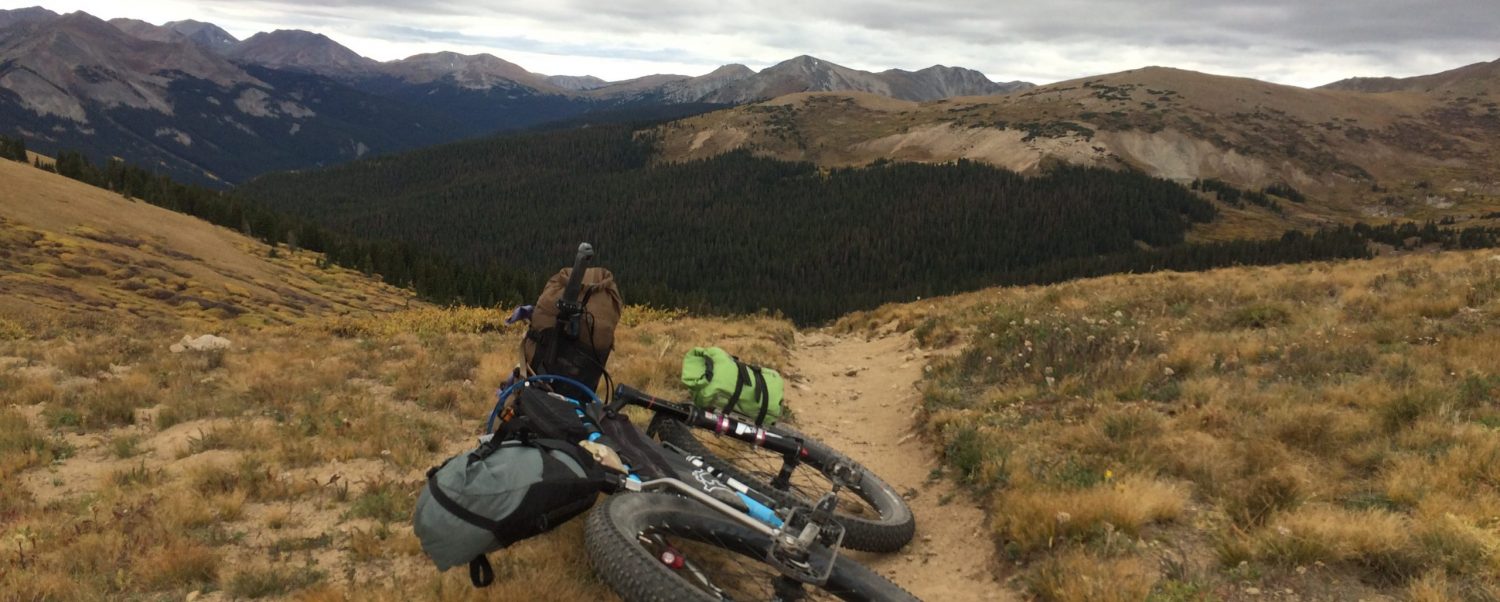
Sunday after morning yoga (I found a cool studio in Nederland about 20 minutes away), I scoured Google Maps, took some screen shots for later reference, and headed out on a county road that, according to everyone, would, at some point, be covered in snow. I’d never seen a road covered in snow, so I wanted to go to there (Apex Valley Road, going up Dakota Hill, for you local-types).
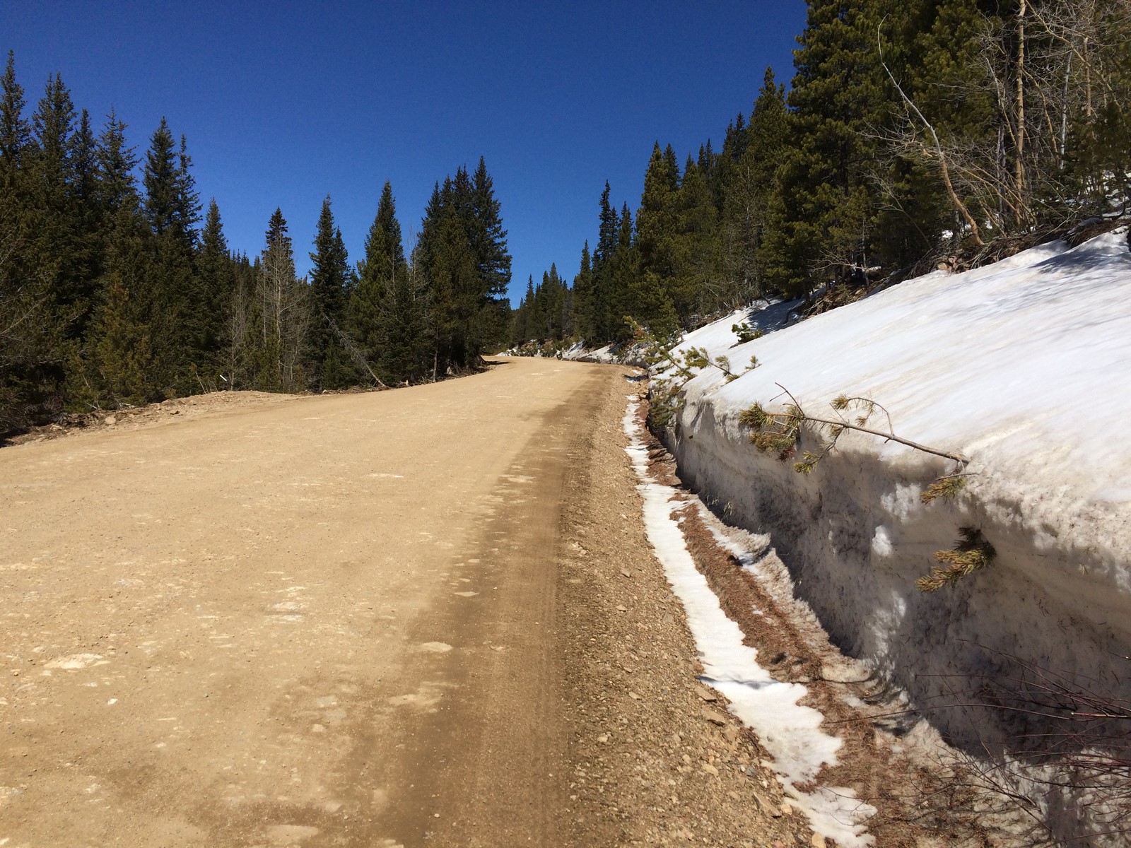
Most of the way up, the road was dry and in great shape
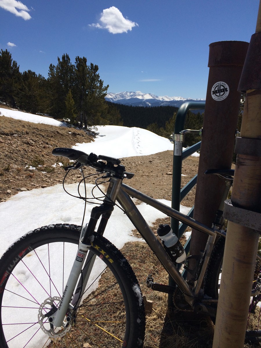
Near the top, the road begins to steepen and switchback. There’s a gate that looks as if it’s used to block traffic when the road is snowed in, and it was open. I was passed by a couple of jeeps along the way. As I neared the summit, one of the jeeps was returning. The driver waved at me and said something about turning around at where the road ends at a tower. I knew from the map that the road shouldn’t end, and I knew from scouting Google Earth that there was an offshoot (that wasn’t on the official road map) that would take you to a radio tower from the final switchback. Hmmm…
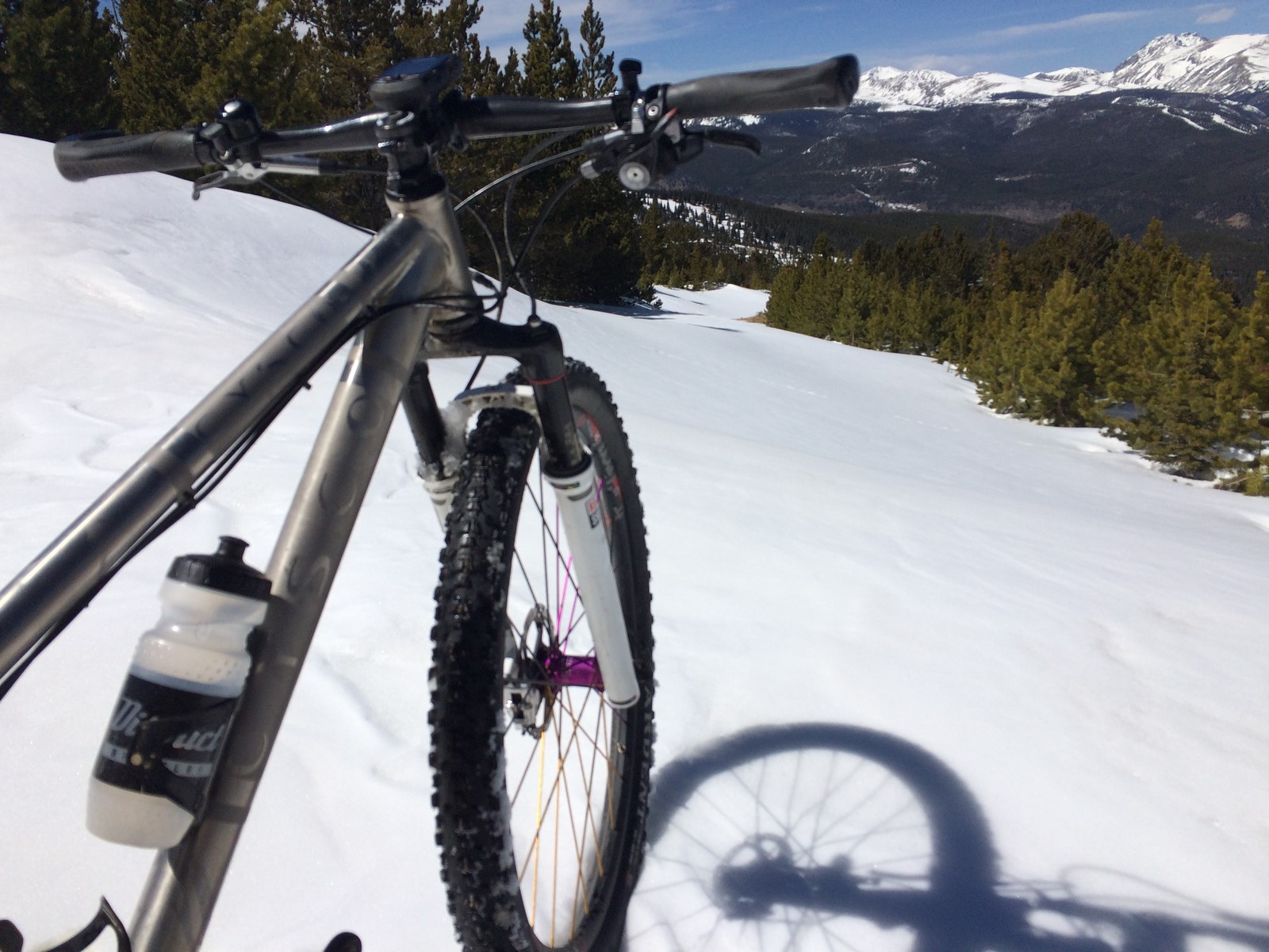
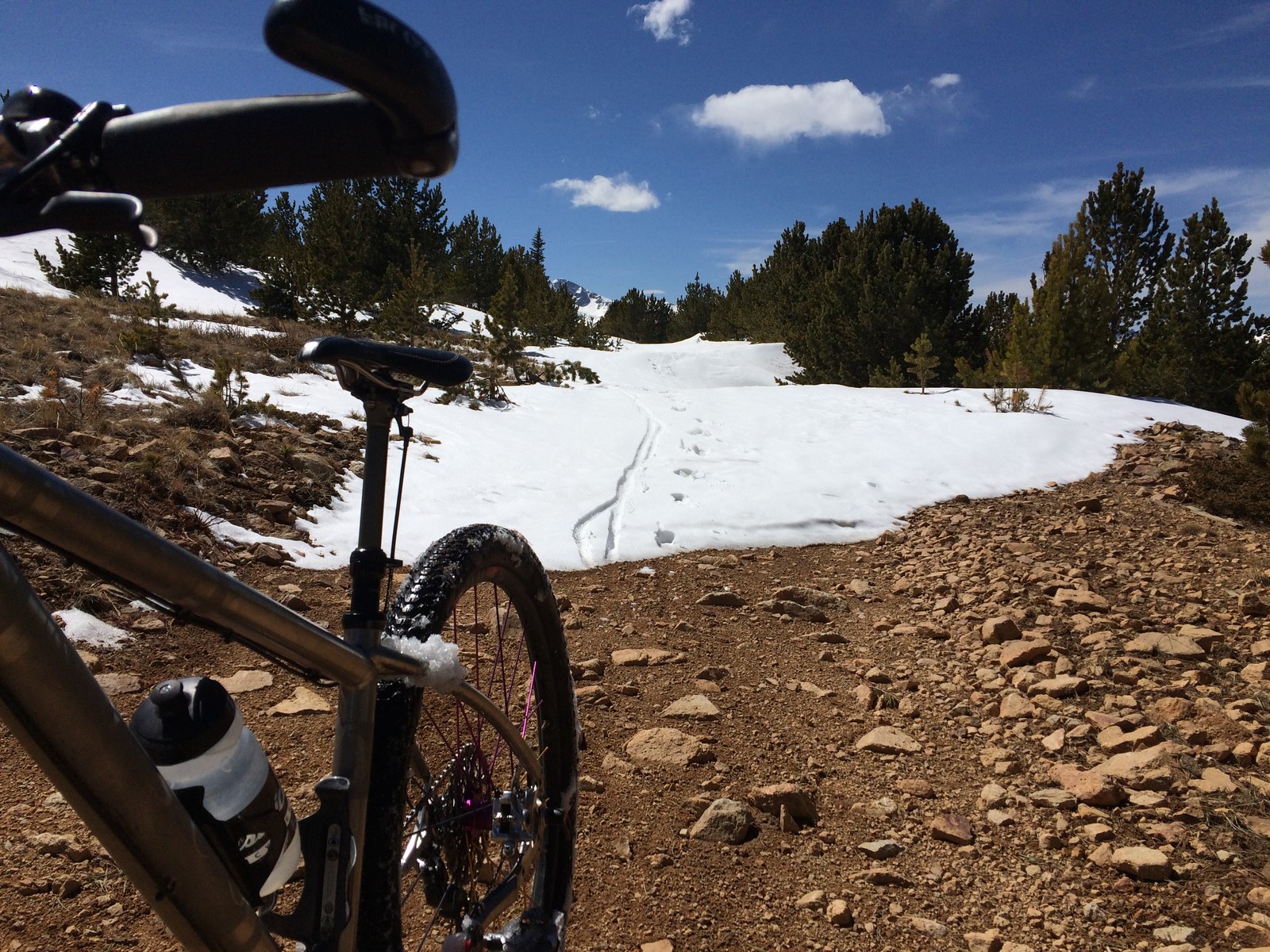
I continued up, and noticed that the “clear” road straight ahead wasn’t on my garmin map. The road on my map seemed to switchback sharply to the left, where there was no immediately visible road. It literally took me a minute of head scratching and wandering to realize that the 2-3ft tall snowbank to my left was, indeed, the “road” I was looking for. I took this picture from the “corner” of the switchback. On the left, where I came from, and, on the right, where I was going.

I was pretty giddy at that point. I took a few photos as I hiked and pushed and carried my bike.

I finally reached the top.
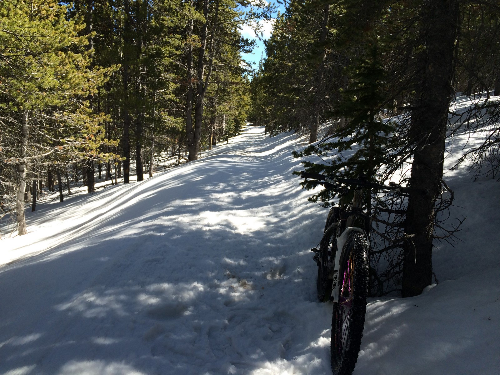
At that point, the “road” went downhill somewhat steeply (reference the top photo). It was enough of a grade that I dropped my seatpost and coasted down with my feet stuck out wide as outriggers as I drifted side to side. I laughed a lot.
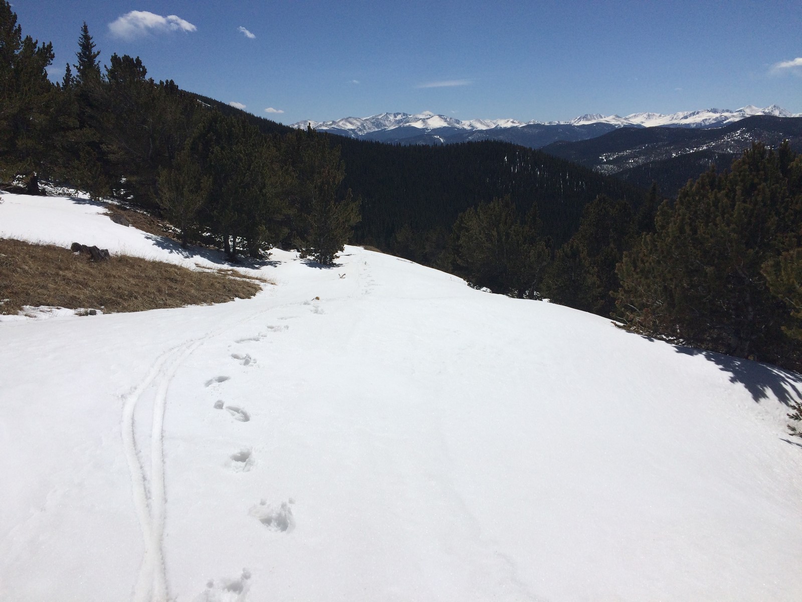
It eventually leveled out a little and I had to hike some more.

At one point, I thought that the hiking portion of my journey was over
But then the trail circled more to the north side of the hill, and I walked some more. The snow at that elevation had occasional spots where I’d step and fall through to the bottom, leaving me thigh-deep with my bike on top of me a handful of times.
I got kind of lost after that. I passed an intersection that was on my Garmin but (unbeknownst to me) not on my map screenshots. I went under a gate that I thought was another “road closed for snow” gate, but then passed a compound-like set of cabins and large tents. Luckily, no one was there, because the next two gates I went under before I reached the main road had large “No Trespassing” signs on the front sides of them (the top one hadn’t had any sort of private property/no trespassing markers). I hightailed it out of there and descended to the highway to get back home. It was only 26 miles, but had taken over 4 hours and included just over 4k feet of climbing (and no telling how much hiking/pushing).
It was exactly the type of adventure I’d been looking for. To top it off even further, when I arrived back at the house, there were Easter Dinner leftovers still warm on the counter. I ate large quantities of food then Indy and I laid back in the Elevated Legs in the RV bed with a sleeve of marshmallow Peeps and my Colorado Trail Databook. I can’t think of many more perfect days than that.
