Sort of, at least.
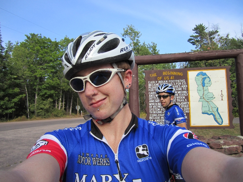
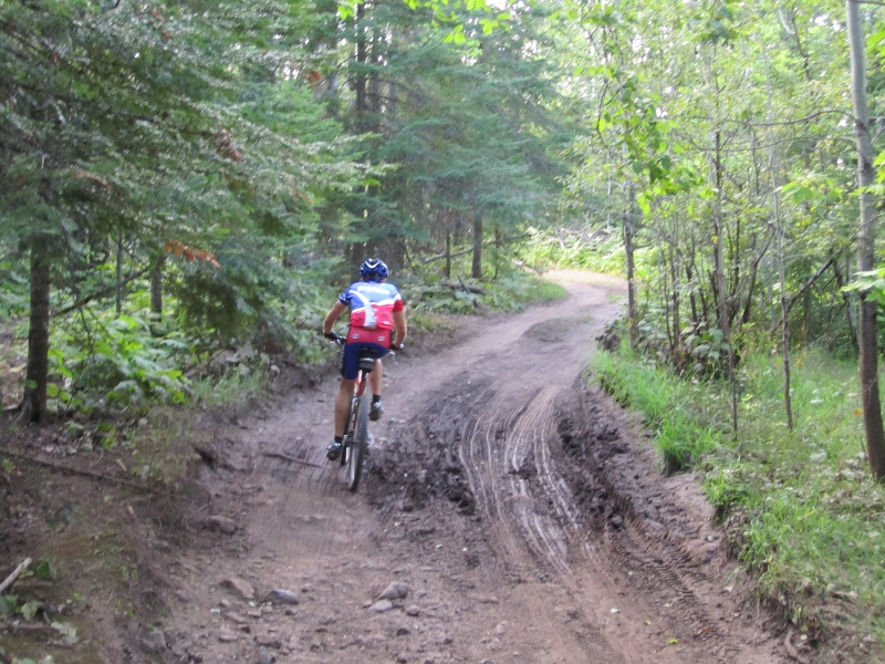
Yesterday when we got settled in at Copper Harbor, we decided to head out on some of the easier trails in the local trail system. However, I got sidetracked in thinking that maybe we could find the end of the Keweenaw out in Lake Superior. We passed a sign for the beginning of US Highway 41, but the road turned to gravel and kept going into the forest. Of course, I wanted to see where it went and what was at the end of it. It HAD to have an end, right?
Fast forward to half an hour and 600 feet of climbing later. We hadn’t found anything other than some nice forest roads. We figured we should turn back so we could get back to town before dark, so Ryan came up with a loop back based on his Garmin’s map. Though we ended up on at least one pretty sketchy section of “road,” we ended up having a great ride, and made it back in time to get to the last restaurant open before the town rolled up their sidewalks from the evening.
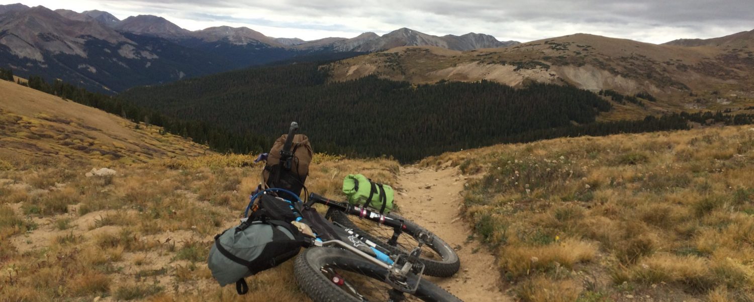
Photos…
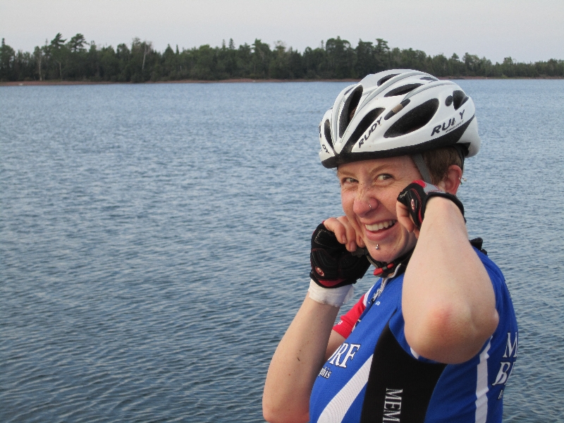
Oh yeah, and, as you can see, I’m experimenting a bit with self-portrait type photos. Our motel also provides its guests with afro picks.